 Good Morning,
Prepping ourselves for what should be a pleasant day for hiking in the Smokies. Skies are expected to bring a mix of sun and clouds today with only light winds. Temps will be mild again, starting us off in the low 40s and rising into the 50s this afternoon. Late tonight rain showers will move into the region and linger well into Wednesday. Roaring Fork was cleared of obstructions yesterday morning and reopened to motor vehicles. This past weekend’s windstorms appear to have brought down some other trees on Mt. LeConte’s various approach trails. Remember, if you come across any downed trees that make passage dangerous or impassable for hikers, please make note of as many details as possible and then report to our staff or the NPS. Knowing a downed tree’s size, type, location, even providing photos of the scene, go a long way in helping NPS trail crews plan and promptly address the new hazards. Thank you for your help in keeping our trails clear and safe for all users, even our lovely llamas! Have a great day.
1 Comment
 Good Morning,
Not exactly good kite flying weather these last many hours. We got every bit of those 50mph gusts with several rain squalls passing through last night. Today won’t be as blustery, but still the chance for winds to tap 30mph. Depending on how well the rain bands hold together as they cut through the South, we could still see intermittent showers throughout much of the day. Temps were fairly warm yesterday and should remain mild up top, maintaining our presence in the 40s and 50s. Trails will be plenty soggy and there is the likelihood of new debris on trails. Currently Roaring Fork is closed due to downed trees, so visitors who were hoping to utilize Trillium Gap Trail will need to consider an alternate route this morning, or at least until park road crews have a chance to assess and clear the one-way drive. And another reminder that the bridge repair on Rainbow Falls Trail begins today, so that path is out of the rotation for lodge guests as well. Stay dry and have a great day.  Good Morning,
Happy Mother’s Day to all the mothers out there. It’s going to be a very breezy day on the mountain this Sunday. A Wind Advisory goes into effect this morning and will last into tonight, calling for gusts as high as 45mph. Skies are already overcast, but clouds are expected to thicken as the day progresses. Beginning late this evening and continuing through much of Monday, thunderstorms will roll into town. At least temps should be a little warmer up top today, as we start off in the lower 40s and have a shot at cracking the 50s this afternoon. If one insists on roaming the woods today, best to get after it early before conditions sour later. Have a great holiday. 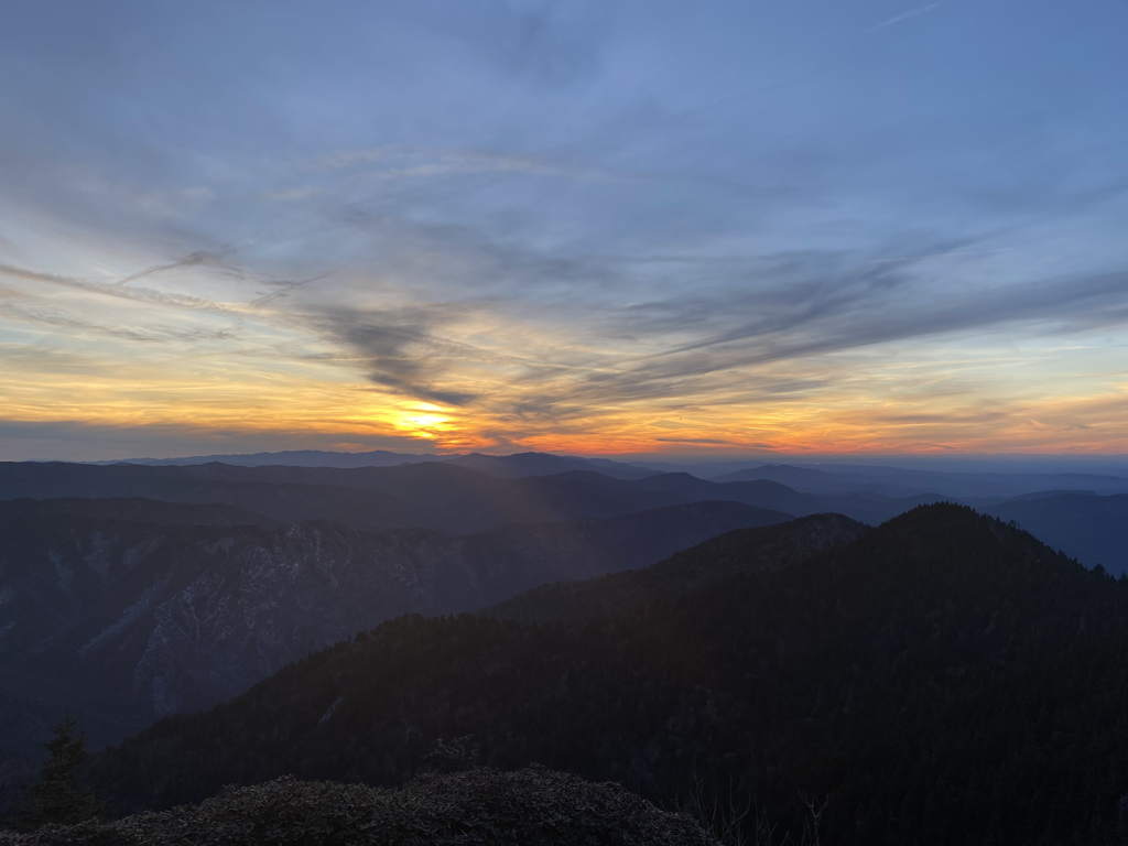 Good Morning,
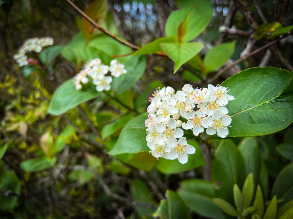
Brrrr it’s a chilly May morning atop the mountain. Hovering just above the freezing mark waiting for the sun to jump up and warm us up. Skies are mostly cloudy and the winds are active. Temps will barely reach the 40s for us today and winds are expected to gust up to 30mph at times. Extra warm layers will be a must today, especially for when your body cools down upon reaching the summit and taking a rest. There are only slight chances of rainfall today and tonight, but best to have a rain jacket handy in case these clouds decide to squeeze out some drops. In more trail news, the work happening along Greenbrier Road has been completed. Visitors hoping to access Mt. LeConte via Brushy Mountain from that side of the park now have access and permission to do so. It’s a pretty trail in the spring, but remember it’s the longest of any reaching the lodge, a tad over nine miles. Have a great weekend.  Good Morning,
A cloudy and chilly start to this Friday. Currently in the upper 20s and wondering if these misty clouds could produce something in the form of flurries. Skies should improve for this afternoon offering up a mix of sun and clouds. High temps will be lucky to reach the low 40s today. We’ll be back down into the 30s tonight, and there is a slight chance for increasing clouds and rain overnight and into early Saturday. The weekend outlook is looking like a mixed bag of treats between sunny and cloudy conditions, as well as varying temps. Saturday will be cool and Sunday will see an injection of warmer temps. Whether staying with us overnight or tackling the mountain as a weekend warrior, better come prepared for all of it! In trail related news, Rainbow Falls Trail will be closed to public access May 10 - 13, and 17 - 20 for bridge replacement work. Hikers will still be able to utilize the trail on weekends, Friday through Sunday, during that time frame. Visitors wishing to access Mt. LeConte from Cherokee Orchard still have the option of taking Bull Head or Trillium Gap trails to and from the lodge. Guests with overnight reservations should plan their ascents and descents accordingly if not taking Alum Cave or The Boulevard these next couple weeks. Have a great rest of the day.  Good Morning,
After receiving several inches of rain these past couple days, it appears we’re finally due for a break in the wet weather. It’ll be a short reprieve, but a welcome one nonetheless. Conditions will be cooler now through the majority of this weekend. We’re already starting things off close to the freezing mark this morning, and our day time high isn’t expected to escape the 40s. It should be a mix of sun and clouds atop the mountain with calm air. Tonight and into tomorrow morning we’ll witness a return toward more rocky weather. There is a chance for rain and winds up to 30 mph overnight, but conditions should improve by Friday afternoon. Trails are likely to still be squishy underfoot from all the precipitation, but creek crossings and drainages ought to be much more manageable for the average hiker by now. Be sure and layer up for your visit to the top, winter’s chilly breath isn’t done with us yet! Have a good day. 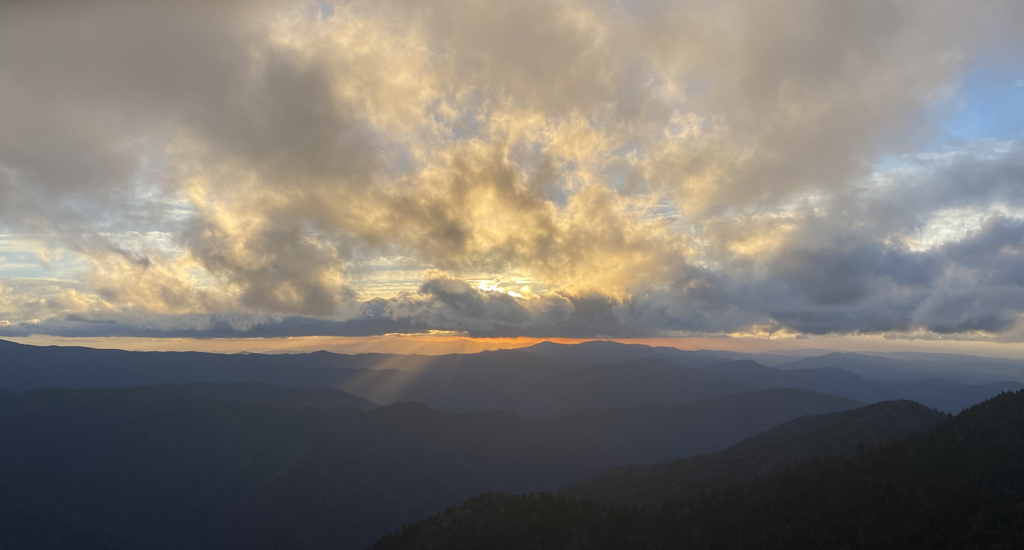 Good Morning,
Well, we didn’t get washed away during yesterday’s torrent in case you were wondering. Several inches of rain came down across the Southeast, not just here in our neck of the woods. One squall after another producing lightning, wind, and repetitive waves of rain. Rivers are sure to be running on the high side still, so if a trail without footbridges is on one’s agenda today, use caution. Today’s forecast isn’t calling for conditions as treacherous as Tuesday, but there are still opportunities for passing showers this afternoon. Otherwise, skies will remain cloudy with gusty winds upwards of 30mph. Temps are going to be a bit cooler these next several days. Our high temps are unlikely to escape the 40s much without constant sun, and we can count on seeing overnight lows back in the 30s. So pack those layers for staying dry and warm on trail and up top. Please make note of any trail hazards or obstructions after yesterday’s storms and report them to the NPS or our crew for remedying. Have a great day.  Good Morning,
The mountains are reverberating with the booming sounds of thunder this morning. Extremely powerful storms are passing through the region to start this Tuesday producing active lightning, heavy rainfall, and possibly hail. A Flood Warning has been issued as several inches of rapidly falling rain can and will cause creeks to swell and overflow their banks. Trails like Rainbow Falls are inadvisable at this time. Storms are expected to persist throughout much of the day before finally weakening this evening. Whether they will possess this much strength is to be seen. Winds up to 30mph are possible. Currently all roads accessing the mountain are open. Use caution on area roads and trails paying close attention to falling debris in such winds and rain. Power outages are happening in the gateway communities surrounding the park (obviously no affect on us up here!) which could create some obstacles for the drive in. Temps will be mild again today seeing us stay mostly in the 50s. Please watch the radar and weather forecast closely for timing your ascent and descent today, and pack all the necessary gear to keep you and your belongings dry and safe in these gully washers. 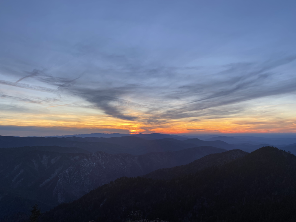 Good Morning,
Going to be a wet and windy day atop the Smokies this Monday. Currently cloudy with intermittent rain showers and thunderstorms happening across the region. Today’s storms have the potential to produce upwards of an inch of rain accompanied by winds gusting as high as 55mph. This appears as though it will be the norm these next couple days in the mountains. Be mindful of your surroundings while out and about in the woods, watching for falling debris in such winds and using caution at any unbridged wet-weather stream crossings. Temps will continue to stay mild, as we are starting off in the upper 40s. Temps could jump as high as the 60s today, with the wind and any chance at sneak peeks from the sun being the biggest determining factor. Be safe, stay dry, and have a good day. 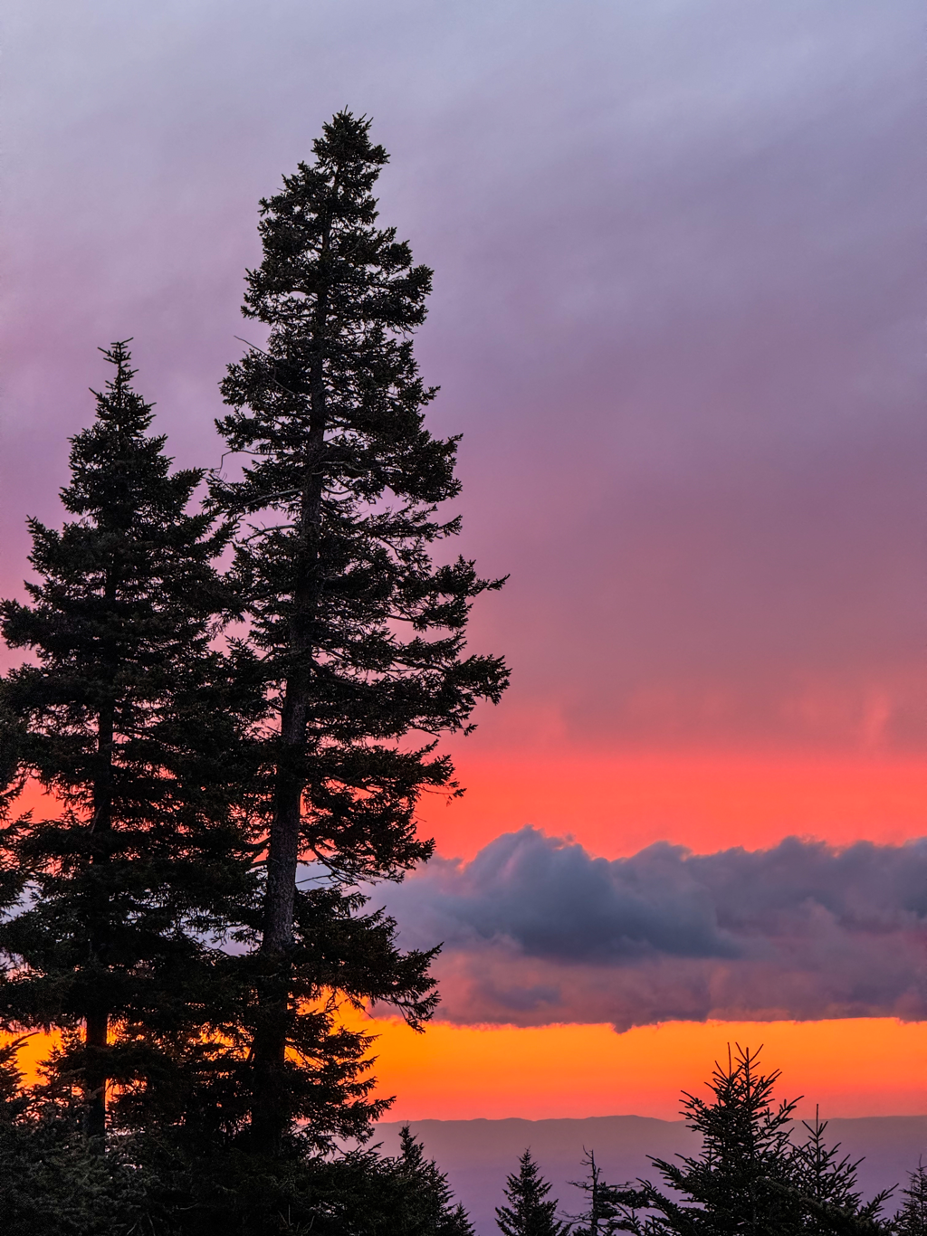 Good Morning,
Oh sunshiny days, it was so very nice to have you. Gray and overcast skies will be the norm today as increasing clouds force their way into the region. Rain showers are bubbling up from the southwest but aren’t expected to arrive until late this evening. Once here, the Smokies could be seeing some stormy and turbulent skies for the first half of the week. Temps will remain fairly warm, which means 40s and 50s up top for us. While these intermittent storms roll through the next couple days, we’re also looking at breezy conditions with wind gusts upwards of 30mph at times. Pack your belongings for wet conditions and watch out for slick places on trail. Have a great end to the week. |
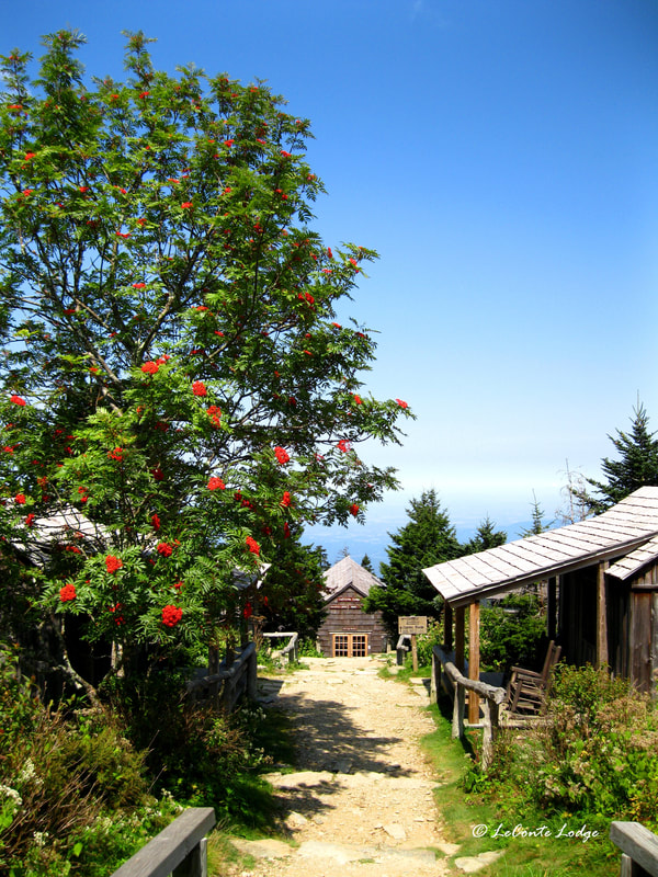
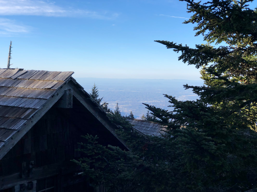
LeConte LodgeWelcome to the official blog of LeConte Lodge. We hope you find the information provided here both helpful and enjoyable. Thank you for visiting the site, and we hope to see you on the mountain! Archives
April 2024
|
 RSS Feed
|
|
|
|
|

|
