|
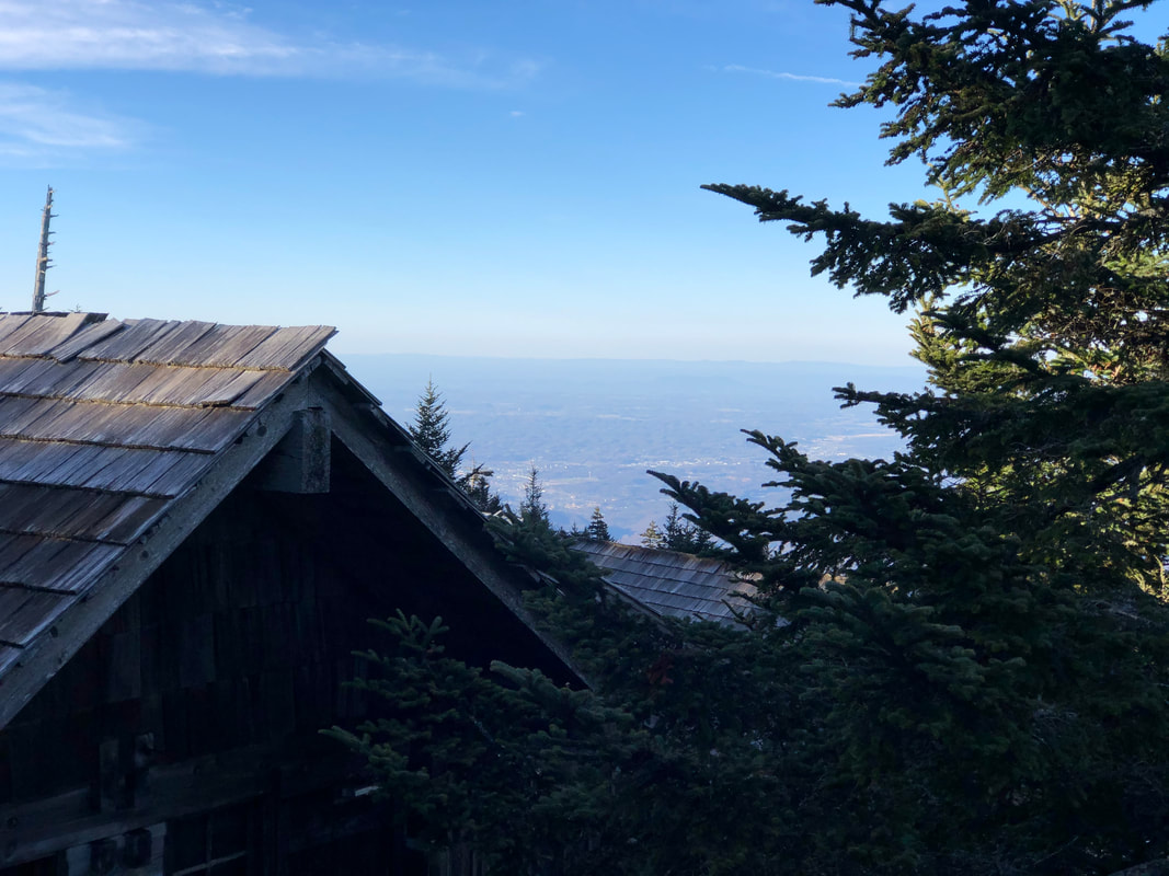
12:00 UPDATE: US 441 (Newfound Gap Rd) and Cherokee Orchard Rd are both back open to the public. Use caution on roadways as winds will remain present today. Skies are gradually clearing with views north down into the valley. Temps are currently in the mid 40s. If you come across any downed trees on trail, please take detailed notes and let us know so that it can be cleared promptly. Good Morning,
The rain finally arrived at 3:00 AM, bringing some much needed moisture to the mountain. We received just under 1” before breakfast, and it appears the bulk of the storm has moved on. Winds will remain strong today with gusts near 55mph still possible. Temps are mild in the mid 40s. The afternoon should be mostly cloudy, and then another chance of rainfall is slated for late tonight and early Friday. All roads accessing the mountain remain temporarily closed at this time because of the hazardous conditions. Park road crews will begin assessing and clearing the roadways as soon as it is safe to do so. There is no timetable for what roads will reopen when. Continue to use extreme caution if out and about in the area today.
1 Comment
US 441 (Newfound Gap Rd) closed at 8:00 AM this morning. We anticipate Cherokee Orchard Rd to close shortly. Temps in the lower 50s currently. Sustained winds at Cliff Tops of 25-35mph. A few gusts recorded between 40-50mph. Continuing to get stronger with each passing hour. Please be safe out there today. Thank you to all those firefighters and first responders taking action in these conditions. Rains are expected to arrive late this evening. We’ve “wind-erized” the lodge in anticipation of the strong winds forecast for the mountain this evening, upwards of 90mph possible. Loose tree limbs and debris can easily become rocket-paced projectiles in such conditions. The Thomas Divide Complex Fire that has been occurring the past few days to our south has not produced a visible smoke plume in more than 24 hours now. Kudos to the numerous teams working hard to keep that fire under control. Although it poses no threat to Mt. LeConte, we are also monitoring the fire currently happening in the Wears Valley area to our northwest.
UPDATE: The High Wind Warning will now be in effect from 8:00 AM today through 6:00 AM Thursday. Wind gusts will reach 55mph this afternoon and up to 90mph this evening. GSMNP will begin closing numerous park roads this morning in advance of the worsening conditions, including some or all that provide access to Mt. LeConte. A Red Flag Warning has also been issued for the region, noting a heightened fire risk due to the low humidity, strong winds, and warm dry air pushing up from the south. Press release from GSMNP…
High Wind Warning: The park plans to close several roads across the park in preparation for expected high winds on Wednesday, March 30. The National Weather Service has issued a High Wind Warning for the mountains beginning at 11:00 a.m. on Wednesday, March 30 through 8:00 a.m. on Thursday, March 31. Officials anticipate sustained winds between 35 to 45 mph with gusts up to 80 mph. Due to the potential for hazardous conditions caused by downed trees and the increased risk of fire danger and spread, the following roads will likely begin closing after 10:00 a.m. on Wednesday, March 30: Newfound Gap Road, Cades Cove Loop Road, Foothills Parkway West (from Chilhowee Lake to Wears Valley), and Foothills Parkway East. The following roads are likely to begin closing after noon on Wednesday, March 30: Little River Road, Wear Cove Gap Road, Laurel Creek Road, and Tremont Road. At this time, the high winds are anticipated to affect primarily the Tennessee side of the park. Road closures may occur earlier than expected and additional roads may close as conditions warrant. All closures will remain in effect until the High Wind Warning has expired. At that time, crews will assess damage and begin clearing roads as needed for reopening. Hikers are advised to avoid hiking during this time period across the park, particularly in areas with standing dead trees. Park visitor centers, campgrounds, and picnic areas remain open at this time. Visitors should exercise extreme caution when making travel plans. Due to dry conditions and damaging winds, the risk of fire danger is increased. Stay safe! Good Morning,
It’s a calm and partly cloudy mountain top to start this Tuesday. And it might just be the most pleasant that conditions will be around the lodge over the next 72 hours. As wind directions start to shift counterclockwise, we’re also going to see a big jump in temperatures. The lodge could tap 50° today, and then 60° Wednesday, a welcome change from the seemingly never-ending deep freeze we’ve been enduring of late. What’s expected along with it is less than encouraging. A High Wind Watch has been posted from noon Wednesday to 8:00 AM Thursday. Sustained winds of 35-45mph with gusts of 65mph during the day, followed by sustained winds of 60-65mph and gusts of 95mph during the night. At some point after there should be an arrival of rain showers. We’ve received no indication from the Park about possible road or trail closures in advance of the rough weather. But given the forecast’s similarity to Tropical Storm conditions, it would be no surprise if they did. Guests with reservations for Wednesday should hit the trail as early as possible that morning to get out in front of the worsening winds and coming rains. As long as US 441 remains open, Alum Cave presents the shortest and quickest path up the mountain. If Cherokee Orchard has to be utilized as a plan B, then travelers are advised to use Rainbow Falls. Definitely not Bull Head because of its current hazards and exposure, or Trillium Gap due its length while the Roaring Fork is closed. If you are someone with an upcoming reservation in need of further guidance, please contact our awesome reservations staff who will provide helpful tips and up to date info. Have a great day. Good Afternoon,
Winter refuses to let go of its frigid grip on the mountain. Although the thermometer may not read as the lowest temps of recent days, the wind chill factor has definitely ramped up the icy intensity today. And with it, there will be little consolation even if the mercury rises above the freezing mark. The trails continue to be ice covered in numerous places, and more so as one gains elevation. The traction devices are a must if you want to navigate the mountain safely for the time being. And with these winds, a trail like Bull Head where countless trees are already down, nature’s fury could bring down some more. So best not to wander in the area most susceptible to falling trees in these conditions. It looks like a warm up is finally coming Tuesday. Although the air temp might feel more springlike, the main reason for the sudden surge of heat this week is courtesy of strong winds pushing up from the south. This is going to be a windy week from start to finish, the high point appearing to strike late Wednesday night with gusts of 60mph being forecast. Intermittent rain showers could also be along for the ride. Guests this week could be toting heavier than average packs with having to account for slick trails, cool temps, and wet skies. Be safe and have a great rest of the day. Good Afternoon,
We’ve been basking in beautiful sunshine this weekend, but my-oh-my is it bone chilling cold. It’s been a couple days now spent entirely below the freezing mark, with this morning’s low dipping to 11°. Add in the occasional gusts, and we’re easily experiencing wind chills at or below 0°. It looks like as this coming week progresses temps will turn more favorable with a warming trend. You wouldn’t know the calendar officially welcomed spring a week ago up here. In the meantime, bring those layers if you want to enjoy your time in the outdoors. There’s also some lingering ice on all of the trails, so don’t forget the traction devices. Have a great end to the week! Good Afternoon,
It’s been a chilly Friday on the mountain, as we dance in and out of cloud cover and cold temps hovering in the 20s. But that hasn’t stopped the day hikers from flocking to the summit. Good thing we added an additional 48’ of picnic tables for folks to sit, relax, and enjoy the outdoors (while also not feeding the wildlife, of course). In fact, there have been a few random flurries seem floating around singularly before disappearing into nothingness. Conditions are calm currently, but winds are expected to increase leading into the weekend with gusts upwards of 50mph. Temps will likely stay low in the teens and 20s during this cold snap, and the winds will surely add some bite. There is also a slight chance of rain mixing with sleet and light snow between now and Saturday, which could make roadways and trails hazardous at times. Have an alternate plan ready in case the NPS decides to close any road for weather related safety concerns. And having those traction devices handy would be a good idea. Have a great rest of the day. Good Morning,
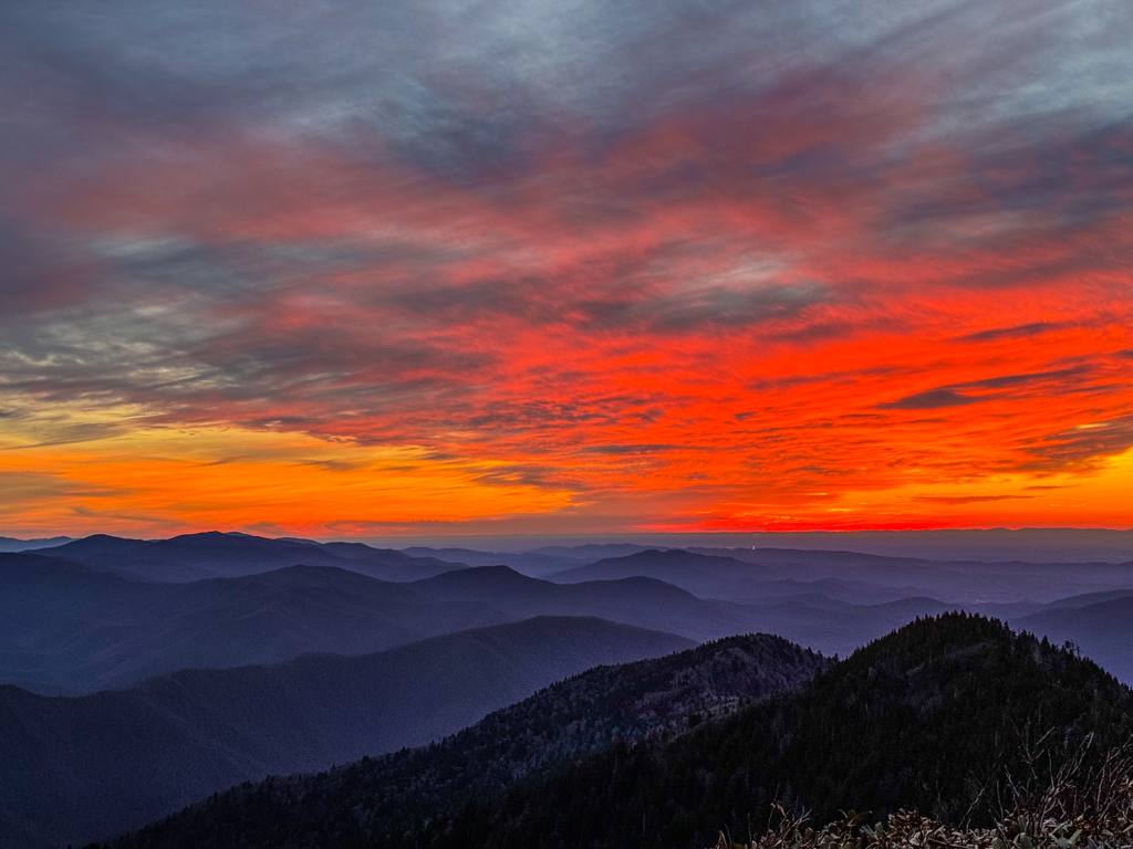
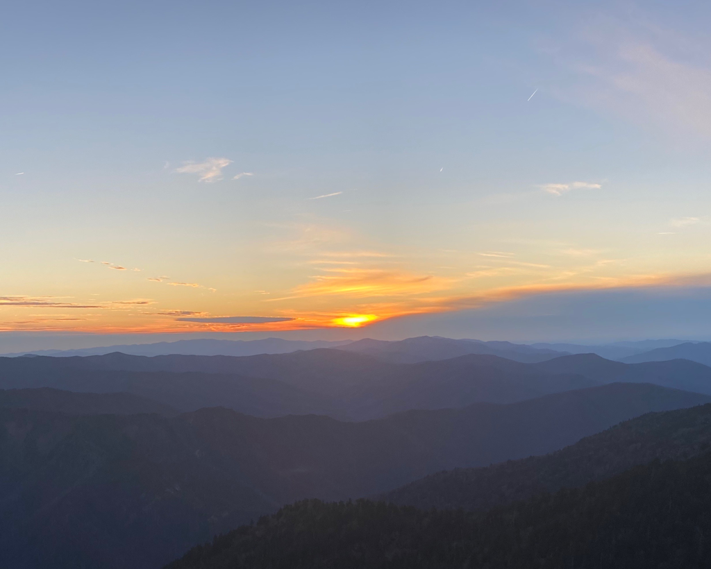
We’re waking up to a cloud sea and finally much calmer conditions up top. After a window-rattling past 36 hours, the air has calmed and the tree branches are no longer shaking violently. Skies cleared around supper time yesterday and have been starry since as we welcome a glorious sunrise to the east. It will be a little cooler today in the 30s and 40s, but we’re counting on abundant sunshine. Friday into early Saturday looks like the outdoor elements will be challenging once again. Colder temps will contribute to freezing rain mixing with snow leading into the weekend, although very little accumulation is anticipated at this time. Bring those layers and traction devices! We’ll be gathering intel on a few more trails today after the recent wind storm. We had several guests safely navigate Rainbow Falls Trail yesterday. Now that all the roads are back open, we’ll surely learn more about Alum Cave in just a matter of hours. Fingers crossed our favorite pack llamas make their first ascent of Trillium Gap today. A handful of folks have traversed the Boulevard lately without issue. Hikers need to avoid Bull Head. It had an immeasurable number of downed trees well before the storm, and there’s no telling how hazardous conditions are on it now. Wise to wait for word that the NPS trail crews have cleared it for safe passage before considering it as an option to or from the summit. When curious about the latest trail conditions on and around the mountain, gusts with reservations should contact our reservations office for an accurate account and knowledgeable guidance. Have a great day. Update: US 441 (Newfound Gap Rd) and Cherokee Orchard Rd are back open. Use caution when traveling through the park, as a Wind Advisory remains in place until 8:00 PM tonight. Tomorrow will be sunny and breezy across the mountains. US 441 (Newfound Gap Rd) and Cherokee Orchard Rd are both currently closed due to the high winds gusting 70+ mph. NPS Road Crews will assess the conditions and reopen when safe for passage.
The rain is expected to ease off around lunch time today, and the High Wind Warning will expire at 2:00 PM. Use caution if and when entering the park. Guests with reservations tonight in need of guidance should call our office. US 441 (Newfound Gap Rd) will be closing this evening at 7:00 PM on account of the High Wind Warning. Winds out of the south will produce gusts of 70+ mph this evening and into Wednesday morning. Rain showers have the potential to be heavy at times.
No closure has been announced for Cherokee Orchard yet, so hikers could still have access to Rainbow Falls Trail on the mountain’s northern side. We will continue to provide road/trail updates as we receive them. |
LeConte LodgeWelcome to the official blog of LeConte Lodge. We hope you find the information provided here both helpful and enjoyable. Thank you for visiting the site, and we hope to see you on the mountain! Archives
June 2024
|







 RSS Feed
