|
Good Morning,
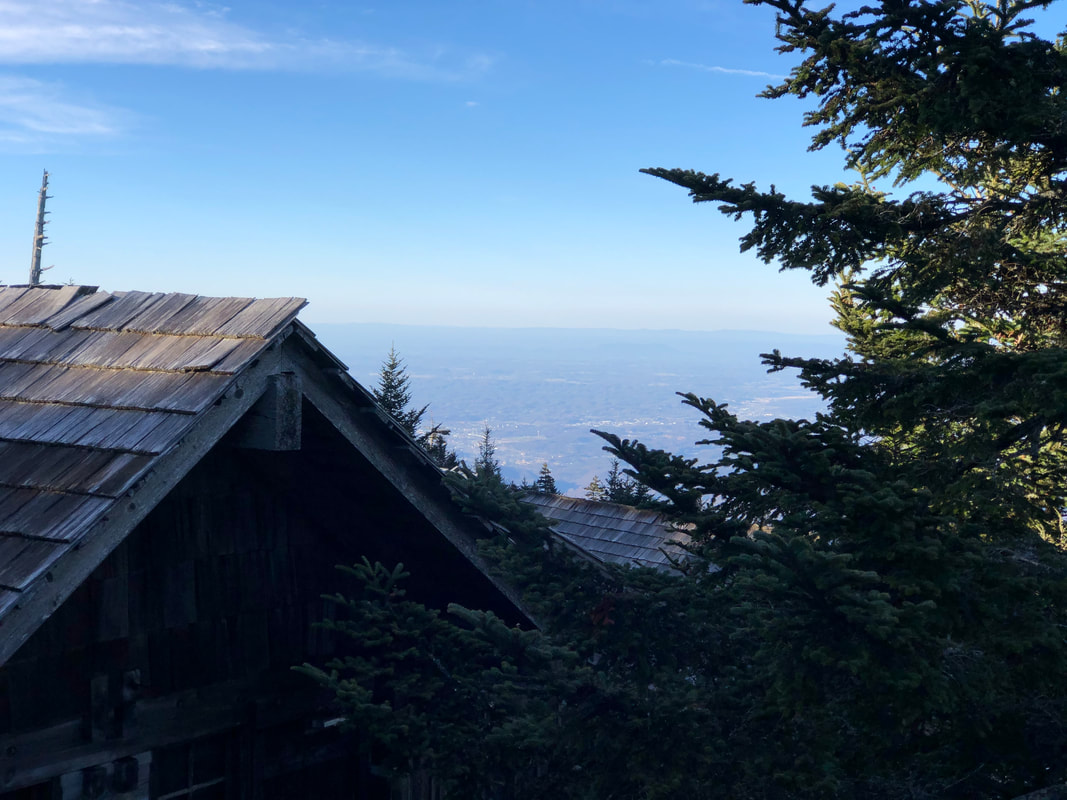
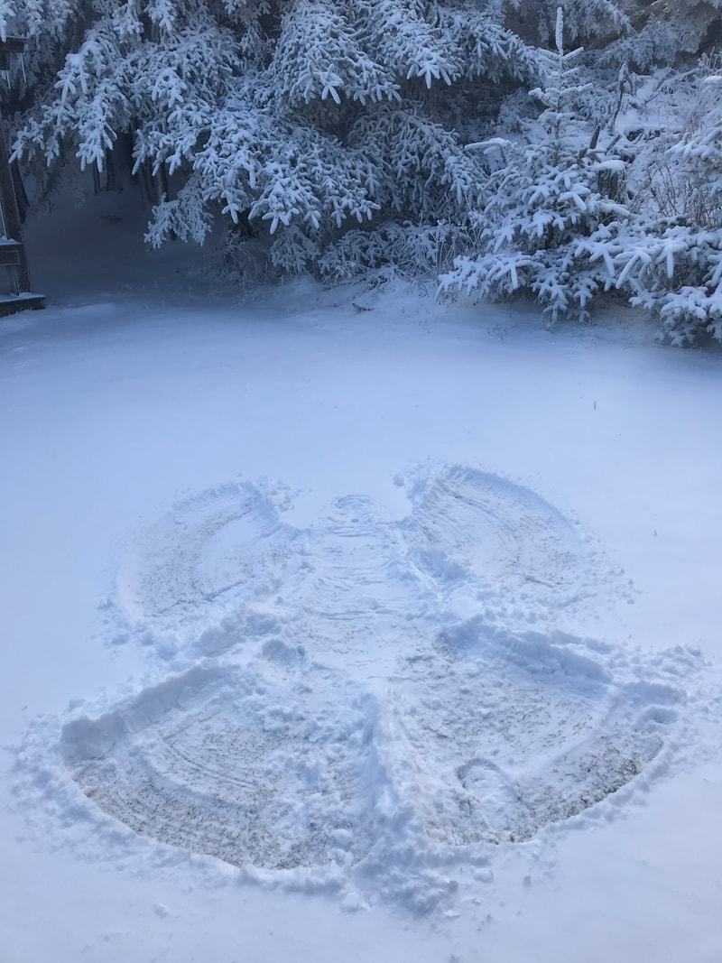
It’s a bit chiller in the upper elevations this morning, between the sharp drop of the thermometer overnight and the blustery winds, it feels like we’re back in the teens of winter once again. Fret not, for this Arctic blast is to be short lived thankfully. Once we get into Saturday, the sunshine and warmth of spring returns speedily and should last well into the days ahead. A Wind Advisory is in effect today, with ripping gusts of 55mph possible at times. We’ll be lucky to see the mercury get any higher than the 30s this afternoon. Although skies are a mix of sun and clouds currently, another wave of storms is expected to roll through around supper time. Will it bring more rain, or remain cold enough to have some fluffy flakes fly? Folks are waiting in anticipation (or dread, if you’ve had enough of winter). After tonight, conditions for the mountain improve mightily, leading into what should be a gorgeous weekend for travelers. Expect plenty of traffic congestion across the Smokies. US 441 (Newfound Gap Rd), Cherokee Orchard, and Roaring Fork are all open at the moment. But stay tuned in case these winds or inbound iciness invoke a temporary closure of park roads later. Have a great day.
0 Comments
Your comment will be posted after it is approved.
Leave a Reply. |
LeConte LodgeWelcome to the official blog of LeConte Lodge. We hope you find the information provided here both helpful and enjoyable. Thank you for visiting the site, and we hope to see you on the mountain! Archives
June 2024
|
 RSS Feed
