|
Good Morning,
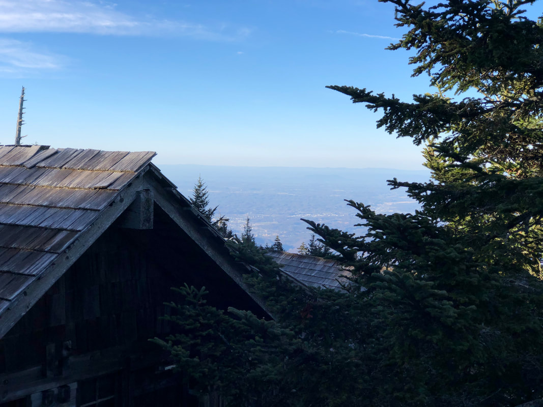
By mid-April standards on Mt. LeConte, today is going to be a hot one. The thermometer should have no problem reaching the mid-60s this afternoon. In fact, conditions are such that the National Weather Service has issued a Red Flag Warning for our area. That means the recent stretch of dry days, unseasonably warm temps, low humidity, and increasing winds are all mixing together to create conditions conducive for wildfires. Even with all this sunshine, the haze obscuring the valley below is certainly thicker today. And of course there’s no shortage of pollen filling the air. So let’s all be smart out there until the next good soaking rain rolls through and cleanses everything. Winds will start ramping up tonight and could be gusting as much as 70mph late Friday into Saturday. That’s also about the time rain and thunderstorms will come to fruition. Once this system rolls through over the weekend, temperatures will plummet down toward freezing once again. Depending on the timing of it all, we could see flurries fly Saturday afternoon before skies clear that night. You read that correctly, we aren’t rid of winter just yet, at least not at our elevation anyways. It’s historically around mid-May when we can feel better about placing the insulated boots and puffy jackets in storage. Have a great day.
0 Comments
Your comment will be posted after it is approved.
Leave a Reply. |
LeConte LodgeWelcome to the official blog of LeConte Lodge. We hope you find the information provided here both helpful and enjoyable. Thank you for visiting the site, and we hope to see you on the mountain! Archives
June 2024
|
 RSS Feed
