|
Good Morning,
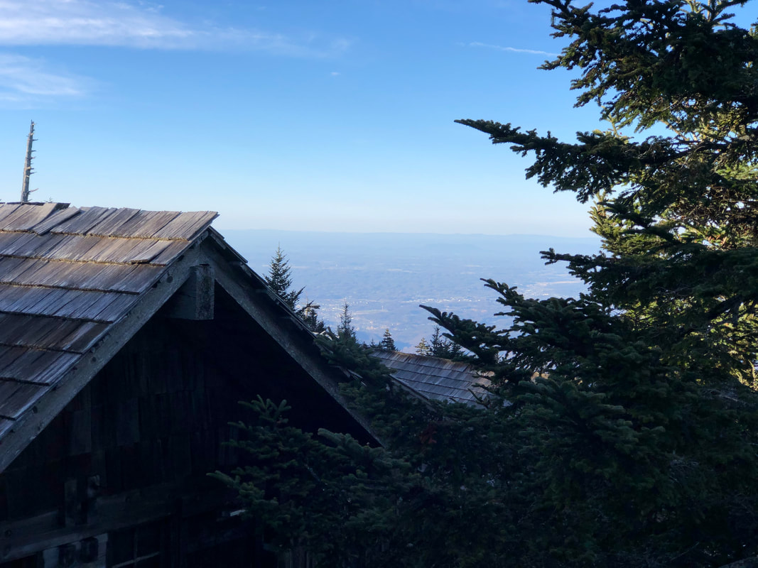
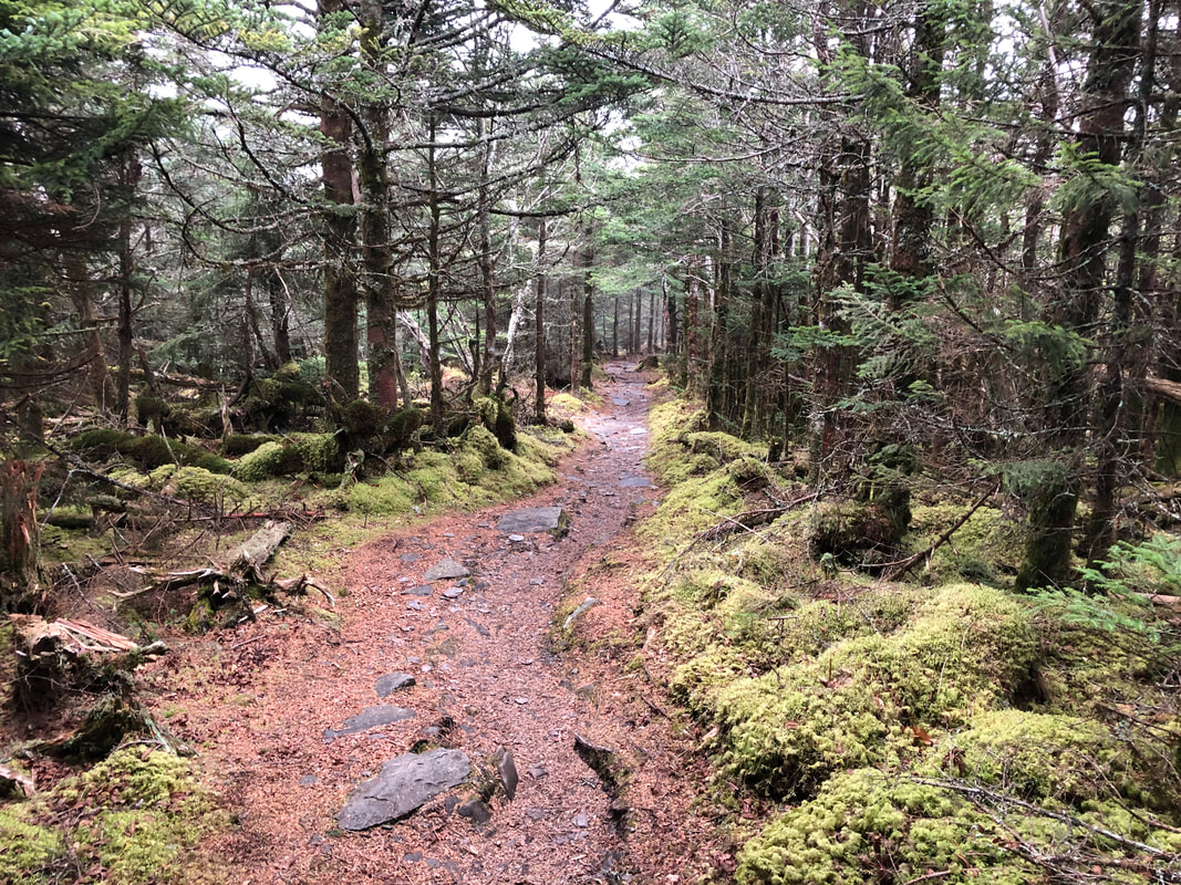
It’s another chilly start to our day, although temps in the upper 20s sounds toasty compared to negative windchills. The region is about to conclude another Freeze Warning, and temps should finally begin the climb out of the wintry basement we’ve been stuck in of late. Skies will be a mix of clouds today, but enough sunshine might help the peaks see the 40s this afternoon. Continue to watch for icy places on trail until the warmth has enough time to melt it all away. Today will be decent enough for outdoor exploration. Saturday is going to be a different beast. Beginning late this evening, rain will move into the region and last clear into Sunday. Along with it, there is a High Wind Watch calling for gusts of 65mph currently. Once this storm rolls in tonight, we don’t expect more pleasant hiking conditions to return until Sunday afternoon. So have rain shells ready, along with a change of dry layers in case that sideways windswept rain finds a way in. Hikers shouldn’t have to contend with any ice at that point. Pay attention to the trees in such winds, and please make note of any of new hazards on the trail if any appear. If strong winds across the higher mountains causes a closure of US 441, please have an alternate route planned to the summit, such as Cherokee Orchard. Speaking of alternate routes, the road maintenance closure happening in Greenbrier has been extended to May 15. So visitors are still not permitted to access the Brushy Mountain Trail to Mt. LeConte from Porters Creek just yet. Have a great day.
0 Comments
Your comment will be posted after it is approved.
Leave a Reply. |
LeConte LodgeWelcome to the official blog of LeConte Lodge. We hope you find the information provided here both helpful and enjoyable. Thank you for visiting the site, and we hope to see you on the mountain! Archives
June 2024
|
 RSS Feed
