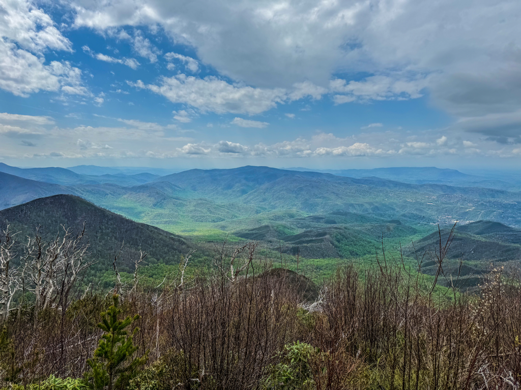
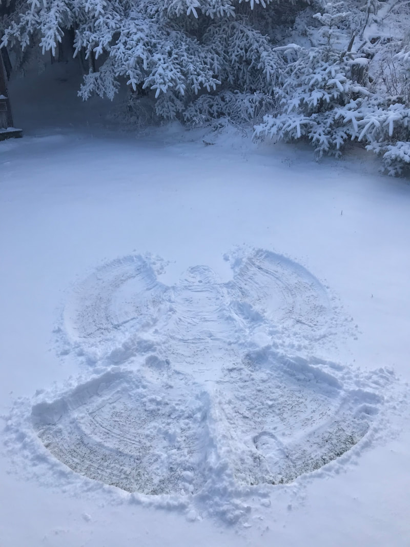
 Good Morning, Well once we got through the early morning rains, the rest of the dreary forecast turned out to be all bark and no bite. So Friday ended up becoming a rather gorgeous day to spend time outdoors. The atmospheric threats continued to lessen as the hours passed and simply refused to materialize. Fine by us and our llamas! Even so, we aren’t out of the woods yet (figuratively, of course). Cloudy conditions have settled in over the mountains this morning, and a band of rain is working its way across East TN toward us. So come prepared for a spot of precip early on in one’s hike. After that, skies will remain mostly cloudy and temps will actually drop from upper 40s to lower 30s. A late addition to the forecast for tonight and Sunday is an unusual, but not unheard of, chance for SNOW! Whether we actually drop below the freezing mark tonight and tomorrow will make all the difference. Either way, folks will just have to wait in anticipation to see if the liquid precip turns solid at any point this weekend. Today kicks off National Park Week across the US, and as such, the NPS recognize April 20th as one of their select “fee free” days for visitors. Even though the Smokies lack an entrance fee year-round, this does make for an exemption to the parking tag fees today. Vehicles will need those tags on display though resuming tomorrow. And as we’ve mentioned throughout the week, the annual Rod Run and accompanying auto-events that take Sevier County by storm are on full throttle today and conclude tomorrow. Expect heavy traffic congestion in and around the park. Early starts, planning alternate routes, and packing the patience will go a long way for everyone. Have a great day. 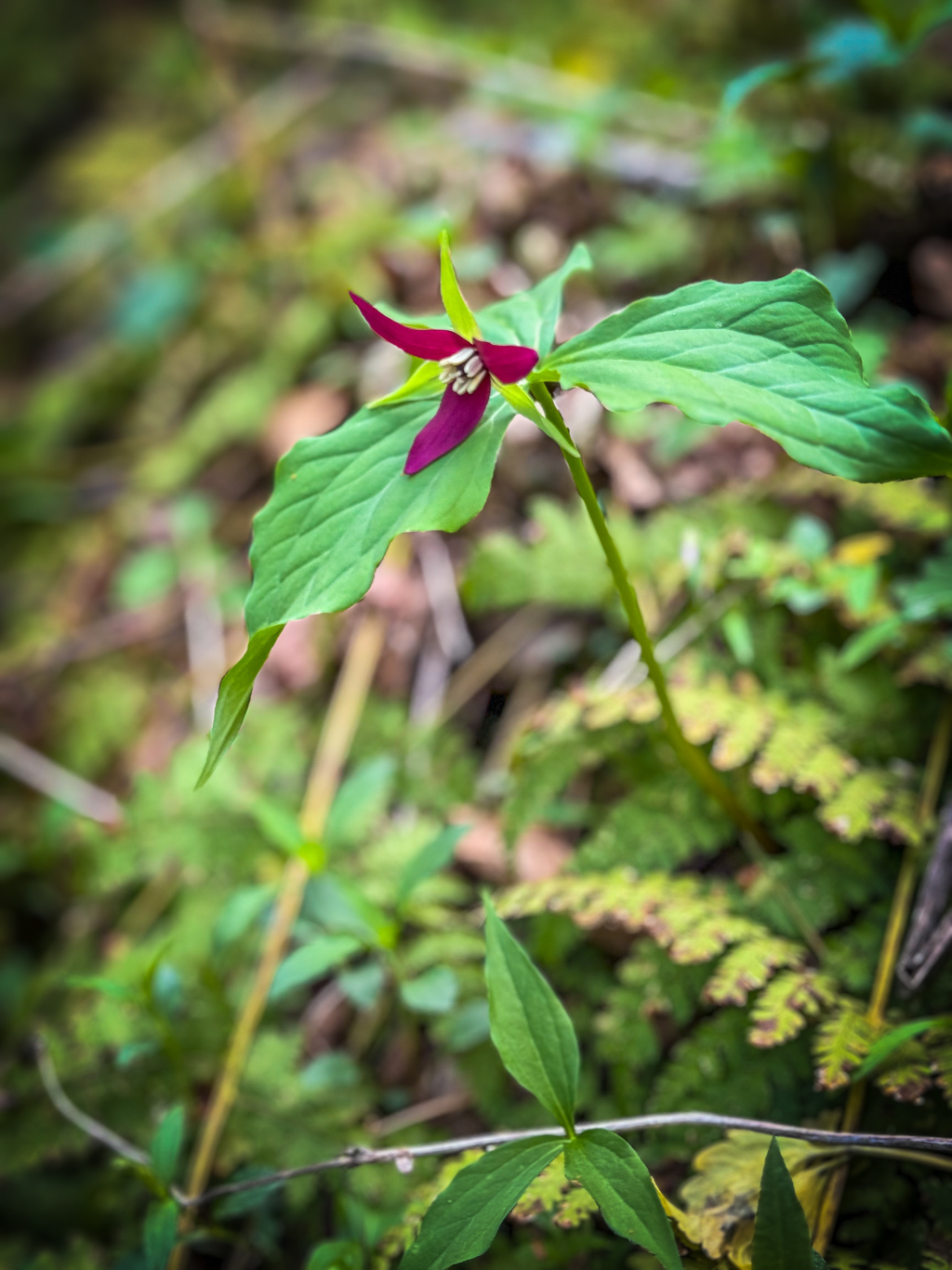
0 Comments
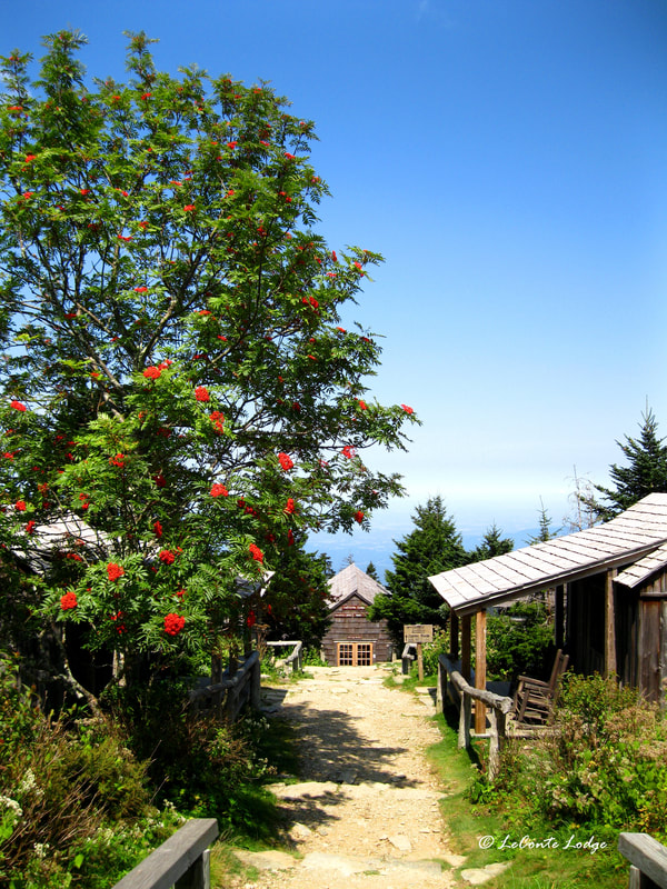
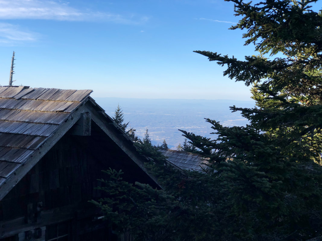
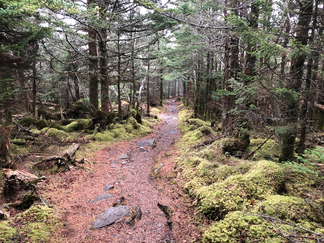
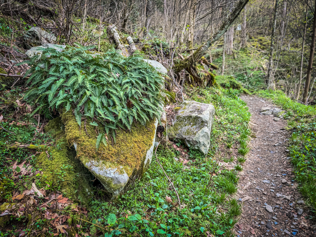 Good Morning, As expected, the rain has arrived, making its presence known around sunrise. These stormy conditions are slated to be rolling through the region all day and night, so count on trails to a bit sloppy today. Temps will range from 40s to 50s, but between the rain and wind gusts near 30mph, that could feel quite chilly to anyone improperly outfitted for the conditions. Layers for staying dry will be a must today if one has hopes of scaling the mountain as comfortable as possible. Precip could linger into Saturday morning as clouds slowly transition over to sunnier skies tomorrow. Then the next round of wet weather makes an appearance on Sunday. If anything is enjoying the mix of warm temps and intermittent rains lately, it has to be the park’s flora. Wildflowers across the mid elevations are really popping now, and the greenery of the forest canopy is starting to thicken down low. Even a small patch of spring beauties has appeared outside our kitchen in recent days. It’s a drawn out process, but getting to watch the ascendance of spring up the mountain’s slopes is always magical to behold. Stay dry and have a great day. 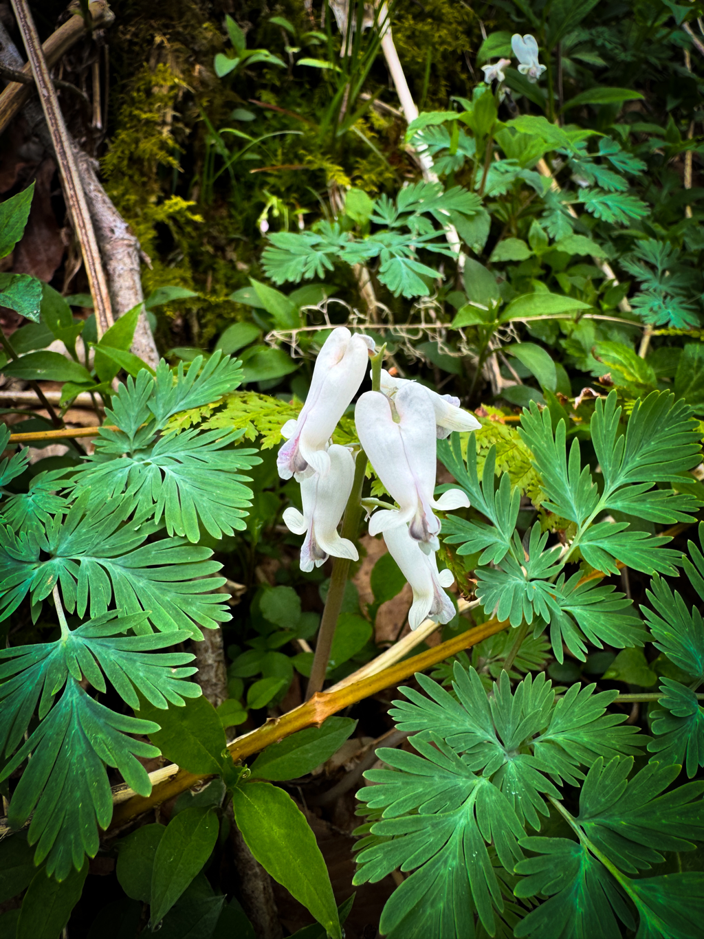  Good Afternoon, A day full of sunshine makes for a day of getting stuff done outside. That “stuff” can be hours of grunt work, or it can justifiably be hanging out in a hammock swaying in the breeze. All of which make for a productive day on Mt. LeConte either way you cut it. We tagged the 60s once again today, and it feels glorious despite the unusual April conditions. Anybody who made good on tackling the mountain today chose wisely, because it looks like the weather will be less than delightful beginning tomorrow. Friday is calling for isolated showers and thunderstorms all day, so layers for staying dry will be a must. It’ll remain mild up top with temps in the 50s, but it’ll also be breezy at times. The weekend ahead will see a mix of clouds and scattered showers as well. Between that and the auto shows happening across Sevier County, it could make for a quieter than normal weekend in the Smokies. There have been numerous reports about trees down on Rainbow Falls, with stories varying as to the quantity, extent, and severity. After some thorough scouting, we can verify the true nature of the trail’s condition. There are twenty notable sections where a downed or leaning tree poses an inconvenience to hikers. Their locations range from not even a mile up the trail to the upper junction with Bull Head. The good news is that each of them can be safely navigated either by stepping over or ducking under. One section in particular a little over two miles down from the lodge was a nasty tangled mess giving hikers fits in recent months. That area is now easily navigable too after a trail wizard had their way with it. We have no timetable for when the NPS will attend to the trail and clear all the fallen trunks, but in the meantime, visitors to Mt. LeConte can use Rainbow Falls in confidence! Bull Head, though…best to continue to avoid. Have a great night.   Good Morning, Looking like a warm but windy day is ahead for the mountain. Clouds will obscure the sun much of today, with a chance for rain showers by midafternoon. Temps will likely scrape 60° once again while winds will gust upwards of 40mph. Light scattered showers could persist into the evening but should clear off in time for a pleasant and sunny Thursday. If a visit to the lodge is in your sights today, best to tackle the trails early instead of late, that way you can soak in the most views and avoid any possible precip. Reminder that now through the weekend will see a continual increase in vehicular traffic congestion, specifically around the Tennessee side of the park. Multiple auto-related events will be taking place beginning today in places like Townsend, Pigeon Forge, and Wears Valley. Historically, this can cause delays and backups throughout the northern gateway communities and on popular routes like Newfound Gap Road and Cades Cove within the park, especially if the weather is nice for pavement cruising. So proper planning and patience will go a long way for anyone scheduled for a visit to the mountains these next few days. Have a great day. 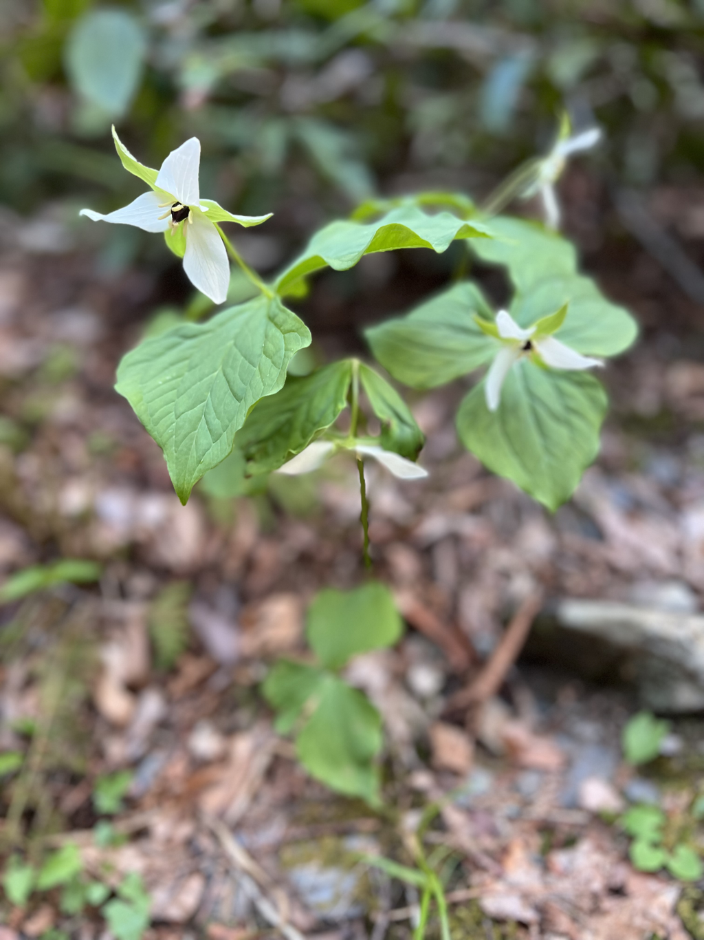 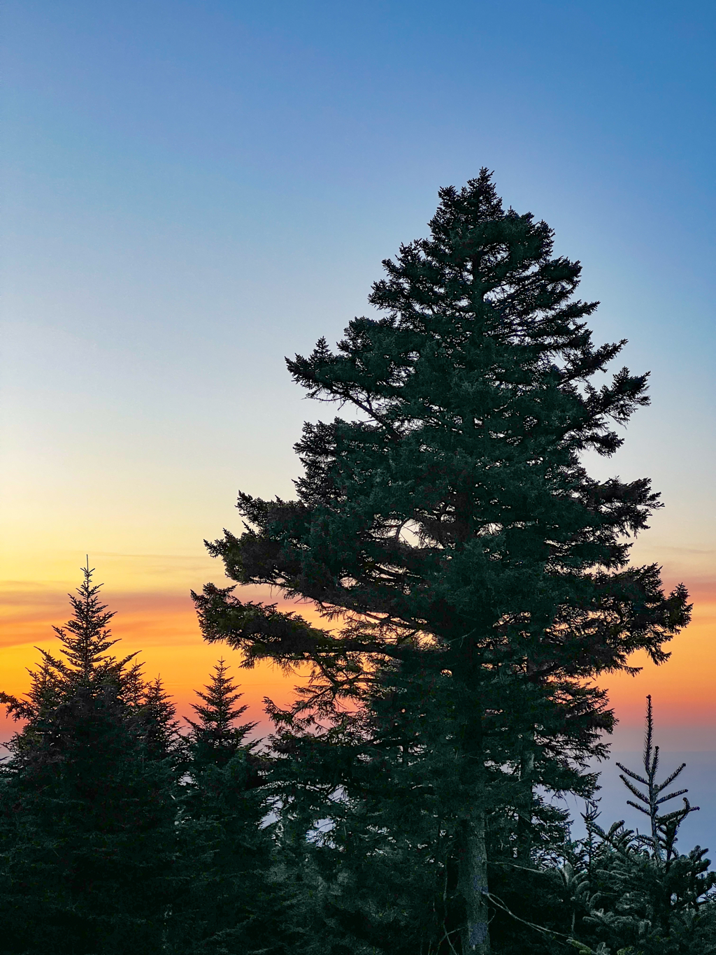 Good Morning, It was a good run, but our streak of sunny skies is about to receive some atmospheric action these next several days. Nothing major just yet, but the occasional rain shower might catch someone by surprise on trail. There’s some light precip working its way across East TN this morning, but it should move out before long and clouds will gradually thin. Going to be another warm day up top, as we should easily reach the mid 60s this afternoon. Should make for some delightful sun bathing later at places like Myrtle Point or Cliff Tops once conditions clear up. Come tonight, the rain chances return and will extend into Wednesday and beyond. So although you might need as many layers for keeping warm this week, you’ll definitely want gear for keeping dry. Have a great day.   Good Morning, Another busy weekend is behind us, and another sunny and beautiful day on the mountain is ahead. It’s already warm at sunrise (for mid April at 6,400’) and should feel quite toasty this afternoon as we get into the mid 60s. Winds will be present early today but gradually ease off as the hours pass. Tomorrow will bring comfortable temps again, ranging from 50s-60s but skies will be a bit cloudier. Still adequate for safe and enjoyable hiking. This past weekend outstanding, vehicular traffic around the park and gateway communities has been less chaotic and congested for April than in years past. That could quickly change in the coming days and weeks though. The NPS has rehabilitation work planned on a couple of their famous waterfall trails elsewhere, so visitors hoping to bask in a calming waterscape will likely gravitate to those Mt. LeConte trails still accessible to them, such as Rainbow and Grotto Falls. This coming weekend also marks the annual Spring Rod Run in Pigeon Forge, so classic cars and slow lanes will be filling up in the coming days. Plan those routes to and from the Smokies accordingly if you hope to minimize your time on pavement and maximize your time treading trails. Have a great day. 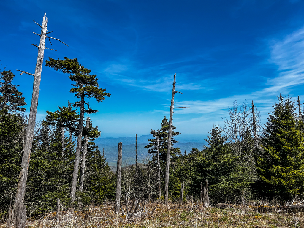 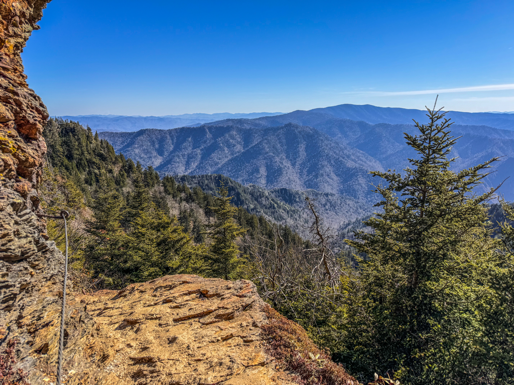 Good Morning, If anybody had a say in this superb weekend of weather we’re enjoying, thank you! We’ve been privileged with several nice weekends since we opened our doors last month, but the added warmth and inevitable injection of spring just has this one feeling extra delightful. And it’s a great way to shake off the dreariness and cold endured during the recent week. It’ll be a beautiful sun-filled day again over the mountains, much like yesterday, but we’re counting on toastier temps across the board. We here at the lodge are anticipating a high temp near 60° this afternoon, whereas the lowlands could witness 80° themselves. Keep the secondary layer handy though, because breezy conditions will be present over the peaks with gusts of 40mph possible at times. If you have reservations with us over the next couple days, plan on this fabulous forecast continuing a little longer. Mid April is really when spring starts to take control in the mountains. The greenery of the forest moves from the flatlands of the park’s fringes and slowly begins its creep up the slopes, a process that is drawn out over the next month plus before it reaches our elevation. And after a week of solid rain followed by what will be a steady stretch of sunshine and warmth, you can sure count on a wildflower (and pollen) explosion across southern Appalachia. So while the views across the Smokies are always grand, be sure to look down and admire the little things putting on a show at your feet. Staying on trail and treading lightly of course, as those precious blasts of color on petals big and small are fragile and to be enjoyed by all. Have a great day. 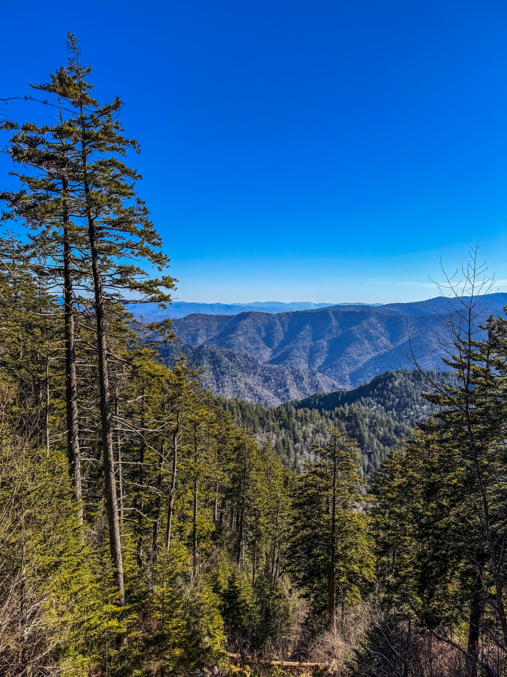 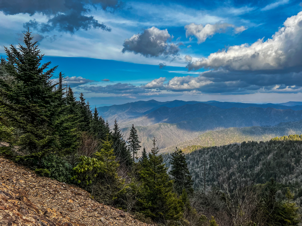 Good Morning, It’s a bit chiller in the upper elevations this morning, between the sharp drop of the thermometer overnight and the blustery winds, it feels like we’re back in the teens of winter once again. Fret not, for this Arctic blast is to be short lived thankfully. Once we get into Saturday, the sunshine and warmth of spring returns speedily and should last well into the days ahead. A Wind Advisory is in effect today, with ripping gusts of 55mph possible at times. We’ll be lucky to see the mercury get any higher than the 30s this afternoon. Although skies are a mix of sun and clouds currently, another wave of storms is expected to roll through around supper time. Will it bring more rain, or remain cold enough to have some fluffy flakes fly? Folks are waiting in anticipation (or dread, if you’ve had enough of winter). After tonight, conditions for the mountain improve mightily, leading into what should be a gorgeous weekend for travelers. Expect plenty of traffic congestion across the Smokies. US 441 (Newfound Gap Rd), Cherokee Orchard, and Roaring Fork are all open at the moment. But stay tuned in case these winds or inbound iciness invoke a temporary closure of park roads later. Have a great day. 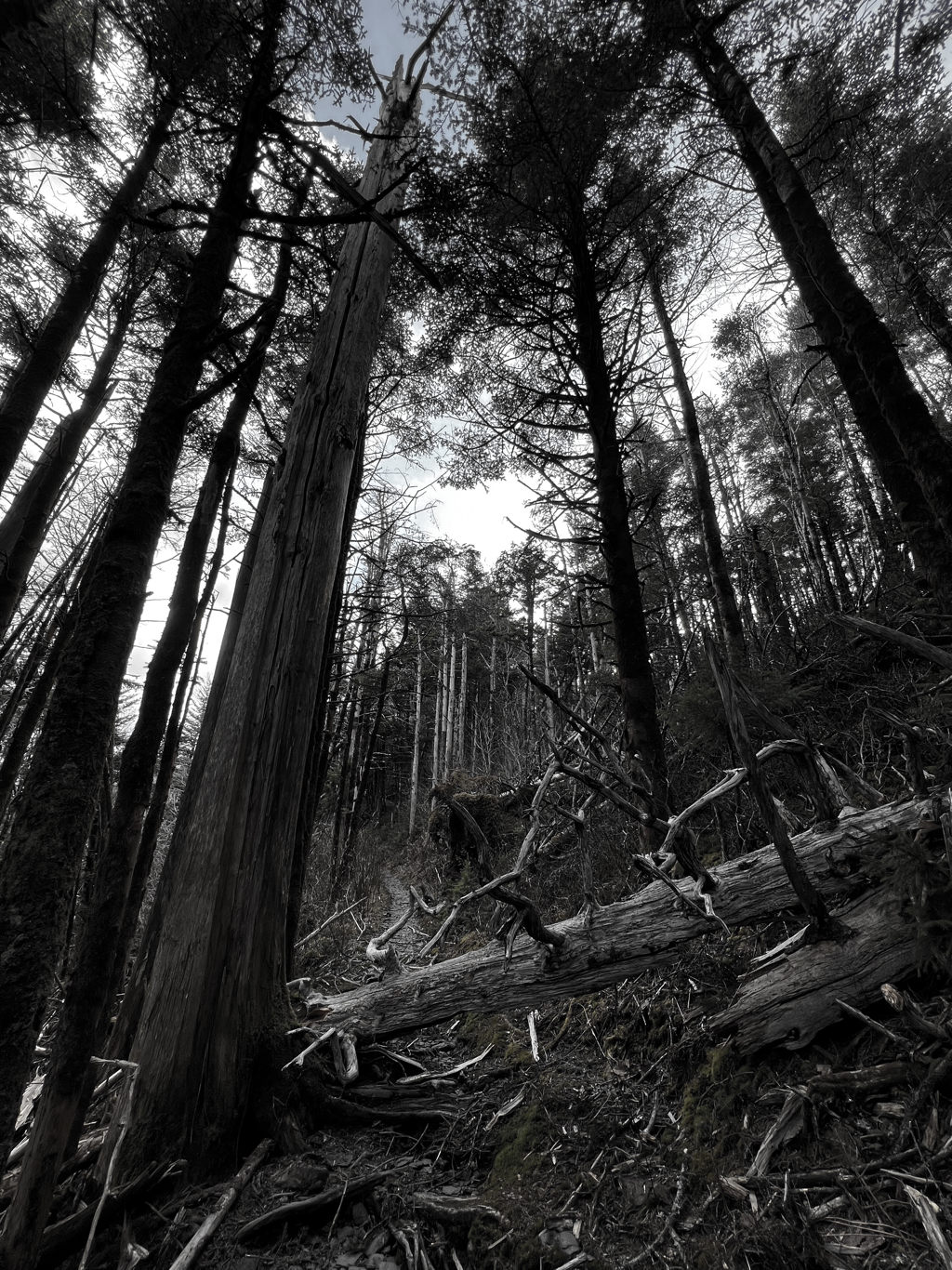 UPDATE: US 441 (Newfound Gap Rd) has been reopened and the High Wind Warning has expired early. Gusty conditions, up to 55mph, will persist into tomorrow though, and storms are still active in the vicinity. Cherokee Orchard and Roaring are also still open.  Good Morning, As predicted, the weather has us rolling and rocking this week. Isolated thunderstorms moved in during the night and will be an on/off presence throughout today. Winds also continued to escalate, in which we are currently under a High Wind Warning expecting gusts upwards of 75mph over the mountain today. US 441 (Newfound Gap Rd) remains temporarily closed, but Cherokee Orchard and Roaring Fork remain open. Since these strong winds are coming out of the south, the accessible trails navigating the north slopes of Mt. LeConte could offer some reprieve from any gusts. Depending on how a few storm cells strike, there is potential for heavy rain at times. Best to get after it early today to avoid any significant buildup of runoff in area creeks. Temps will otherwise be mild up top today, approaching the 50s this afternoon, but the thermometer is going to slide down a bit tonight. Whether we get close enough to the freezing mark for any lingering rain to transition from sleet to snow flakes will be a wait-and-see scenario. That of course adds an entirely different wrinkle into the temporary closure of roads between now and the weekend. So stay tuned and pick your marks wisely today! 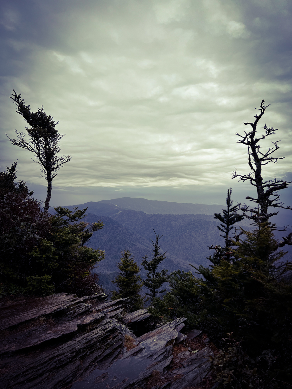 UPDATE: US 441 (Newfound Gap Rd) is temporarily closed due to the inclement weather forecast for tonight and tomorrow. There is a High Wind Warning in effect now through Thursday evening, calling for gusts of 75mph in the mountains. There is also the potential for severe storms and heavy rainfall. Cherokee Orchard and Roaring Fork roads remain open at this time.  Good Morning, Residents of the mountain wake up to another springtime soup of cloud and rain this Wednesday. Steady precip across the park will continue throughout the morning hours, but we might catch ourselves a break from the wet weather during the afternoon. If the cloud cover lifts at any point to offer glimpses of sunshine, well that will be another matter. Hikers shouldn’t bank on it though, and continue to come prepared for sloppy trails and dripping skies. Temps will remain mild in the 40s and 50s with breezy conditions getting stronger over the coming hours. The mountain is slated for a High Wind Warning beginning tonight and crossing into tomorrow, calling for gusts upwards of 70mph. Heavy rain also returns in earnest for Thursday. So based on that information, have multiple plans in place should the NPS deem it necessary at any point to temporarily close a road for adverse driving conditions. To our knowledge, only Alum Cave and Trillium Gap are entirely clear of obstructions at this time, as the other footpaths still have a number of downed trees yet to be cleared. No problem for the salamanders and snails who love this wet climate, but a bit more involved and something to consider for the average human hiker with a pack. Have a great day.  |
LeConte LodgeWelcome to the official blog of LeConte Lodge. We hope you find the information provided here both helpful and enjoyable. Thank you for visiting the site, and we hope to see you on the mountain! Archives
May 2024
|
 RSS Feed
|
|
|
|
|

|
