|
Good Morning,
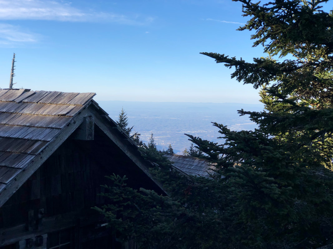
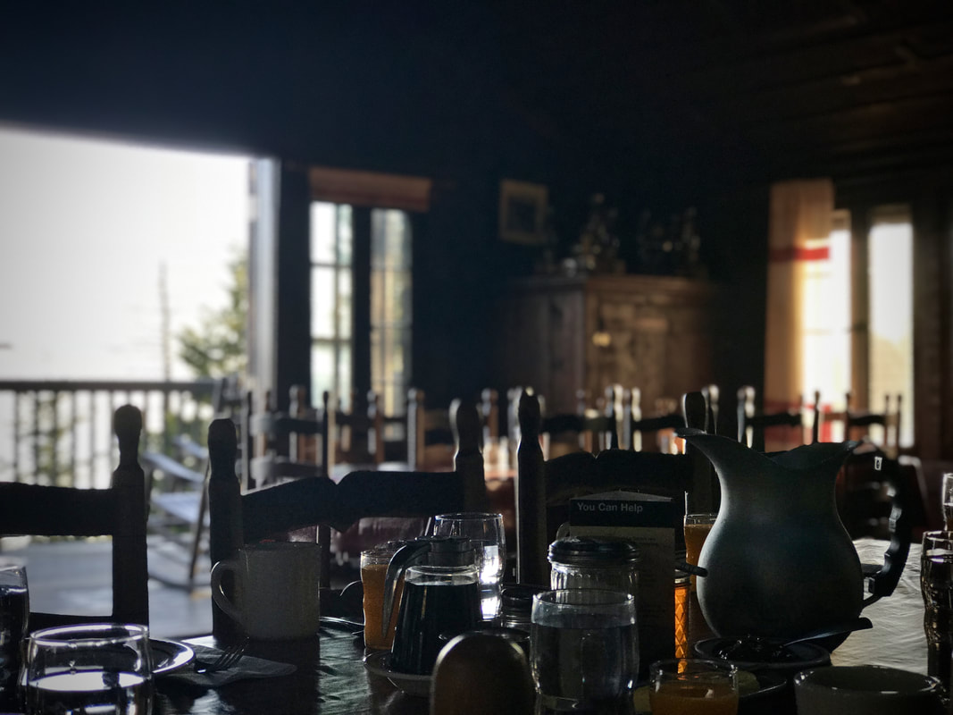
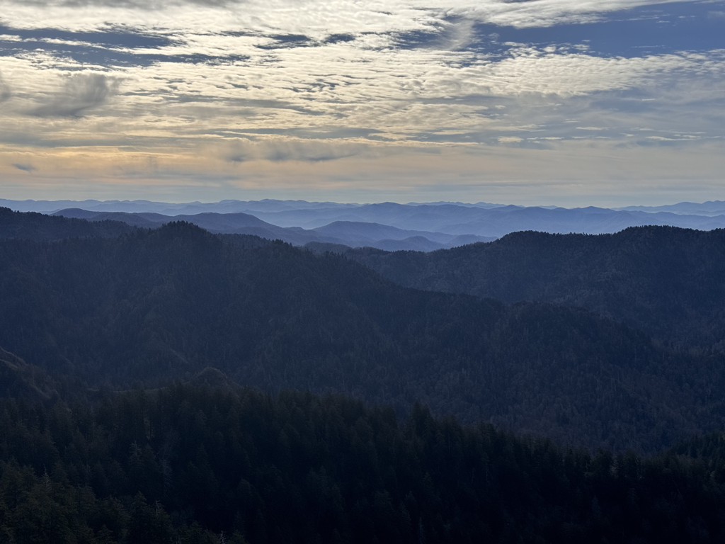
You’d think the mountain top was frozen in time the air is so still and quiet. Aside from the haze obscuring the horizon, conditions are mostly clear at our elevation. We’re looking at a mostly sunny day in the Smokies with only a slight chance now for an afternoon shower. The air will remain calm with fairly warm temps, as we start out in the upper 50s and should witness the lower 70s later. The lowlands are still up for a couple brutal days with high heat indexes although that will change significantly once Hurricane Ida rolls through. Speaking of which, the forecast cone still shows the major storm tracking just north of our location. The strongest potential for rain and wind here is expected to occur Tuesday night and into Wednesday morning. Rain amounts are undetermined at this time, but winds could gust as much as 35mph. Guests with reservations need to have alternate plans for scaling the mountain just in case the NPS feels the need to close certain roads before or during the storm. As we saw last week, rock slides and downed trees can happen with saturated surface soil and high winds. Have a great end to the week.
1 Comment
magda sonnier
8/29/2021 08:53:20 am
love this site
Reply
Your comment will be posted after it is approved.
Leave a Reply. |
LeConte LodgeWelcome to the official blog of LeConte Lodge. We hope you find the information provided here both helpful and enjoyable. Thank you for visiting the site, and we hope to see you on the mountain! Archives
June 2024
|
 RSS Feed
