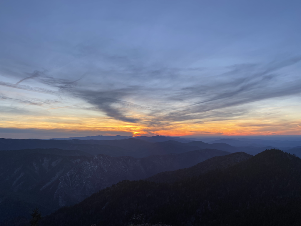
 GOOD MORNING TO Y’ALL! MAYDAY! MAYDAY! If you are interested in learning more about the 54 (or more) plane crashes in the Smoky Mountain National Park since it’s creation, you should read the book, MAYDAY! MAYDAY! Yesterday afternoon at approximately 3:30 PM I was really concerned that I might be called upon to practice my first aid skills and to write another chapter for the book. I had just hauled ten gallons of water up from the spring to the kitchen. While I was still “suited up “ for the fifteen degree temperatures, I decided to proceed on my daily ramblings around the top of the mountain to Apollo Overlook and the backcountry shelter. I like to visit the shelter every day in the late afternoon just to see who my “new neighbors” are for the night. As I left the shelter I heard very loud airplane propeller noise approaching from the south (North Carolina) side of the mountain. As I stood and listened and watched, I saw a small single engine red and white airplane fly over High Top—the top of Mt LeConte. It was only about 100 feet over the tops of the trees! I have been hiking in the Smokies since 1980 and Mt LeConte for almost that long. I have never seen a single wing single engine airplane fly that low! If I was a pilot flying over a mountain that we know is 6,593 feet tall, I think that it would be prudent to fly at least above 7,500 feet elevation! He made it over the mountain and circled back to the south. I was relieved that he made it! I really thought that the plane might crash. Then I would have to call 911, demonstrate my knowledge of first aid, and assist with a helicopter rescue. This would be interesting and exciting because there was less than two hours of daylight remaining. Then I would probably have to write another chapter for MAYDAY! MAYDAY! He made it. I called the park service when I got back to the lodge. The ranger who answered the phone asked me if I had the numbers on the fuselage. The plane was so low that I would have been unable to see that because of the trees. There is a cell phone app that enables you to take a picture of a plane and tells you the type of plane, the owner, the origin, the destination, the name of the pilot and probably anything else that one might wish to know. Perhaps I should get this app for my phone! I think that we were all very lucky today! Any other questions about what a Mt LeConte Lodge winter caretaker does “in all of their spare time?” Have a Great Day! WILDCAT/Bert 
3 Comments
Joe
12/20/2023 11:05:20 am
I thought I remember the regulations and believe following is correct:
Joe
12/20/2023 12:14:13 pm
I believe my last comment contained errors. My understanding of FAA regulations is in "simple terms" a request to fly 2000 ft above the "surface" and requirement to stay above 500 ft. in National Parks and many other special areas. Some have published regulations unique to these areas.
Andrew
12/23/2023 09:16:04 am
There is one possibility of finding out, which is to use the "playback" feature on Flightradar24.com. There are some limitations: it requires that the aircraft has a transponder (many general aviation and practically all commercial aircraft have one) AND it has to be within range of volunteers that have antennas and provide data to them and some very remote areas as well as in mountain valleys, there may be no coverage. Your comment will be posted after it is approved.
Leave a Reply. |
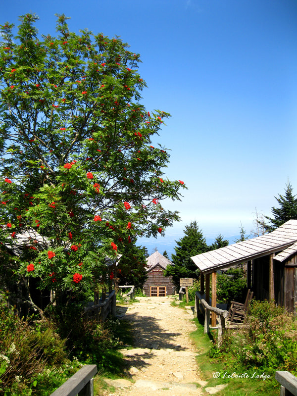
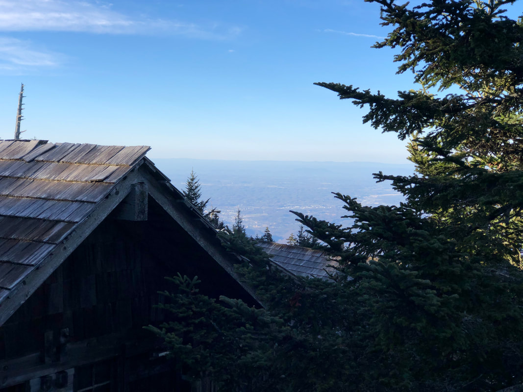
LeConte LodgeWelcome to the official blog of LeConte Lodge. We hope you find the information provided here both helpful and enjoyable. Thank you for visiting the site, and we hope to see you on the mountain! Archives
May 2024
|
 RSS Feed
|
|
|
|
|
|
