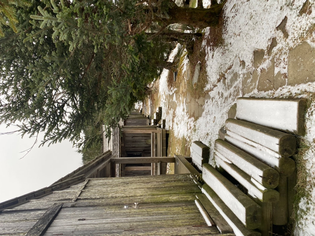
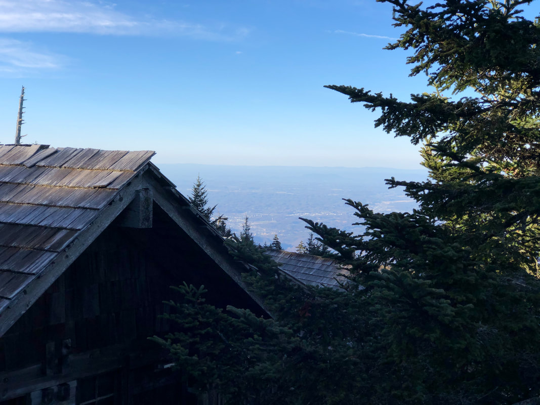
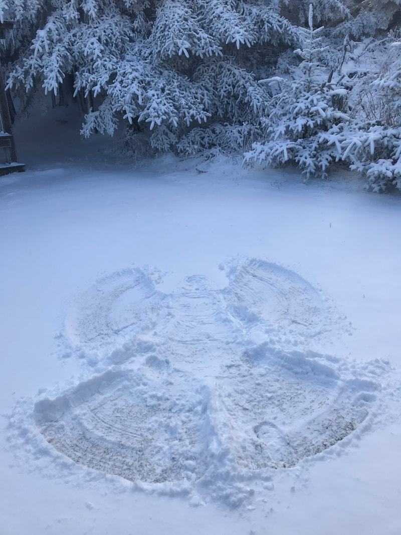
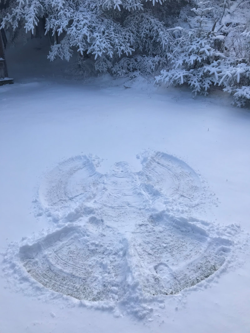
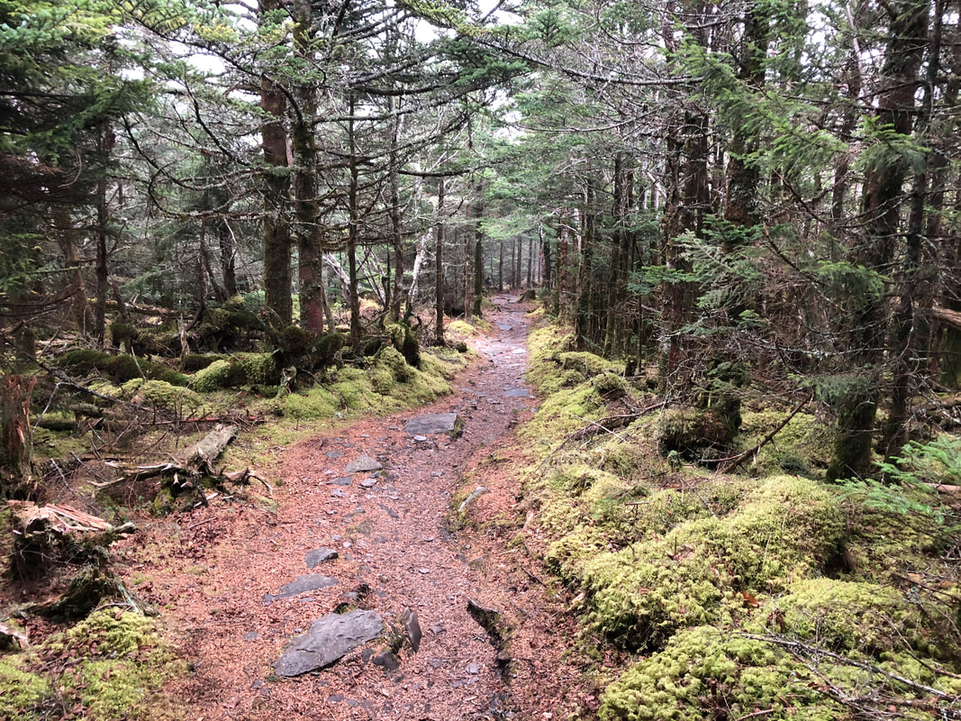
 It is a nice cold, but sunny Monday morning on the mountain.The high yesterday was 33, low was 23. There is still five inches of snow at the top. This report has been relayed from his relief to the office. To let everyone know that does not follow information on road closures in the Park, that Hwy 441, Newfound Gap Road is not open to thru traffic from Cherokee to Gatlinburg. There is a major slide on the North Carolina side of the Park. If you enter the Park from Gatlinburg, must turn around and head back down at Newfound Gap. If you enter from the Cherokee side you may only go as far as Smokemont Campground. The Park has yet to announce how long they think the road will be closed. The most recent trail report is that there are about 7 trees down on Alum. A tricky one just above the Bluffs that caused many hikers to turn around. I hope to have an update later today as the relief makes a trek down Alum.
Brad
1/21/2013 01:27:28 am
I saw the pic of the landslide. Gonna take quite a while for the roadway to be reopened. I figured this will have an effect of visitors to the Lodge over the new few months.
Jack
1/21/2013 01:34:44 am
Yes, this slide will be very problematic for the Park Service people. At least all the main trails to the lodge are still accessible without much difficulty.
tomk in SC
1/21/2013 03:42:39 am
Jenny, WOW! You are a bushwhacker extraordinaire! One of my GSMNP bucket list items is the Bear Pen (Hollow?) Trail. What do you know about this trail? Tomk, even though Bear Pen Hollow is listed as a trail in Ken Wise's book, the trail has pretty much disappeared. I would describe the route as one of the easier off-trail approaches to LeConte, but it still involves rockhopping, scrambling, and a fair amount of brush. You come out on West Point, where you pick up a manway that takes you over to Alum Cave trail. The Smoky Mountains Hiking Club has this hike on its program for August 17. Probably not the best hike if you've never done off-trail before, but not a killer hike.
tomk in SC
1/21/2013 04:19:02 am
Jenny, Thanks! And I did read about it in Wise's book. I know the manway from West Point to Alum Cave Trail. I'm thinking the BPH trail starts just above the loop on 441. If I don't get better info, I was thinking I'd just follow ridgelines up, but I'd need to do at least one switchback somewhere. Given that the trail is almost gone, is there much of a difference between being on the BPH trail and bushwhacking as described or is the almost trail way better than trying to push through a thicket a la Huggins Hell? Is there a better route description than Wise? You need to look closely at the USGS LeConte quad or equivalent topo map. You see that Bearpen Hollow is the second stream above the loop, after Cole Creek. There is a very small draw between the two close to the road. That is where the cabin was. If you're interested in poking around the cabin site, I'd park in the small pullout at Bearpen Hollow (the stream) and walk down a short distance and explore up that draw. But for getting to the top of LeConte, I would just go up the stream itself. Around 5200' you'll hit the ridge that runs south from West Point at a flat area. Then just follow that to West Point. But I wouldn't recommend doing it solo. You can do a search for Bear Pen Hollow on my blog.
tomk in SC
1/21/2013 11:09:08 am
I have a USGS quad hanging in the back of a closet door. I had traced my best guess on the quad. I would have run it a smidge to the right of the stream, figuring it would be easier to climb something of a nose than a stream. I also noted from your blog that you went to the LEFT of the stream and wondered if the RIGHT side would be better. It would appear that the 400' or so below West Point, will be pretty steep. If I do this, it will be in late summer. If Alum Cave takes 3hr to hike, what do you suppose BPH would take. . .5? 6? or does straight offset obstructed? Left vs. right side of the stream has mostly to do with vegetation and not something you'd figure out from the map. "The grass is always greener on the other side of the creek"... meaning it always looks like it's a bit flatter or there's a bit less rhodo or brier on the other side. :) Unless the water's real high, the stream itself can be a good passageway through dense brush. As far as time is concerned, I might guess four hours, but off-trail time is nearly impossible to predict even if you know if the person's a slow or fast bushwhacker. I've been in places where it's taken me three hours to go a mile.
Rick Shepherd
1/21/2013 02:01:05 am
Thanks for the info and pics....All Welcome!....The Newfound Gap Road, Hwy 441, slide and the huge slide closing the Cherohala Skyway affects our plans somewhat for our two annual visits to the GSMNP....But those slides are not going to stop us!.....We can still hike up to the Mt. LeConte Lodge!.....And visit Joseph at the Dayhiker in Gatlinburg!...... Enough for us!..... :-)
Jack
1/21/2013 02:46:44 am
Right, Rick ! I must ask a question: Where is this "Dayhiker" located ? I assume it's a camping type store. Thanks.
Aaron
1/21/2013 03:26:01 am
Yes, Day Hiker is an outdoors store. Located right in town in Gatlinburg. Very helpful folks there. Here is their website:
Pat N.
1/21/2013 04:03:06 am
Near the Pancake Pantry in downtown Gatlinburg you will see a collection of shops called The Village Shops...the Dayhiker is a small, awesome shop in The Village.
jay
1/21/2013 03:09:46 am
JP,
doug y
1/21/2013 03:17:59 am
Another nice photo of the lodge grounds, covered in snow and looking like a winter wonderland. Very peaceful looking. I wish I could be there this very minute to enjoy the solitude, the quietness, and the cold, crisp air. I woke the other night to see a quarter moon setting in the west from my house; that was around 1:30am EST and it was an interesting sight with the moon aglow in orange as it was about to descend below the horizon ! Beautiful. I have a trip in mind for tomorrow or the next day and I'm tempted to change my plans and hike up to the shelter above the lodge, stay there and get up in the middle of the night, hike down to Cliff tops just to view the moon setting, which by then should be near, or nearer, to being a full moon. Hmmmmmm. That would perhaps be worth a nightime excursion. Of course, up there I would have to hope for clear skies. I may give in to this temptation. G'day.
Steve D
1/21/2013 03:33:31 am
Hey Doug-Go for it! And bless us with your report on the adventure.
Steve D
1/21/2013 03:29:07 am
My nephew and I had a great hike to LeConte yesterday up the Rainbow Falls Trail! What a beautiful sunny day, and we of course were rewarded with very nice snow to walk in as well. Especially the last mile and up to the Lodge still had a lot of snow there. We were glad we had our microspikes for the areas that had a fair amount of ice and hard packed snow on them. It certainly gave us confidence to get across them and with them it keeps you from having to go a lot slower, as well as not falling down at all! It is a longer trail and and has more elevation than the Alum Cave Trail, so plan your time accordingly if you are going to use that trail. It took us about 7 hours for the round trip where it usually takes 51/2 round trip for the Alum Cave Trail. Also, we were glad we had waterproof shoes/boots as there was a lot of water and deep mud on the trail as well as the snow. There is nothing quite like being on top of the mountain with the views that it provides! Have a great day all!
Debi
1/21/2013 10:10:53 am
Wish I were there. Were bone-chilling cold up here in Michigan at 4 degrees. Thanks for the updates.
Dee
1/21/2013 10:51:48 am
>Debi; Thanks for that heads-up on the temperature - I was just getting set to layer up for a snow-run here in suburbs north of Detroit when I read your post (we have 9 degrees here with ?! windchill )
Linda M
1/21/2013 12:59:08 pm
Wondering what the Moon looks like tonight from Le Conte lodge? From here (Biloxi, MS) it's amazing! You can see Jupiter right next to the moon and a big halo around the moon too!
Steve D
1/21/2013 01:34:17 pm
It is amazing here too, I live in Pigeon Forge, and the sky is completely clear and the moon is directly overhead, and yes there is a star lining up like it is right next to it. Beautiful!
B. Rodgers
1/21/2013 02:09:43 pm
Hiked to the top this morning via Alum. The post is correct...there are a lot of trees down above the bluff. I had to climb through the root ball on the largest one! Beautiful views and cold up top. Take some small spikes due to lots of ice. 3/25/2013 10:00:40 pm
I am glad that I have landed on your page finally. You have shared an interesting post according to your personal experience with cold and chill winter morning. I am planning for such trips during my vacation. Thanks for your good post. 5/6/2013 09:02:56 pm
Thanks for letting us know about the changes which are supposed to take place along with the requires data. 9/21/2013 04:18:23 am
There is quite still 5 ins connected concomitant snowfall at the summit. This evidence save been relayed by his or her incite on the company. 9/26/2013 11:39:05 pm
There is a primary skid on the North Carolina part of the Grounds. If you post the Meadow from Gatlinburg, essential veer approximately also skull spine dejected at Newfound Rift. Comments are closed.
|
LeConte LodgeWelcome to the official blog of LeConte Lodge. We hope you find the information provided here both helpful and enjoyable. Thank you for visiting the site, and we hope to see you on the mountain! Archives
June 2024
|
 RSS Feed
