|
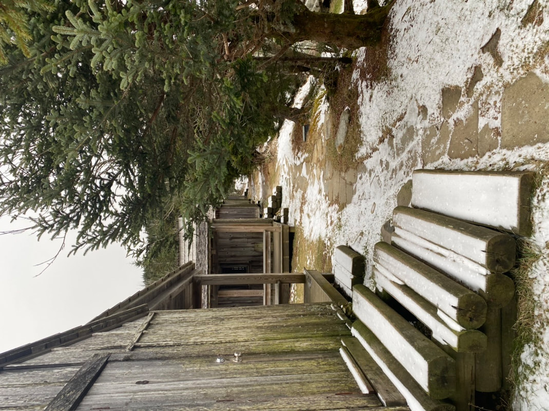
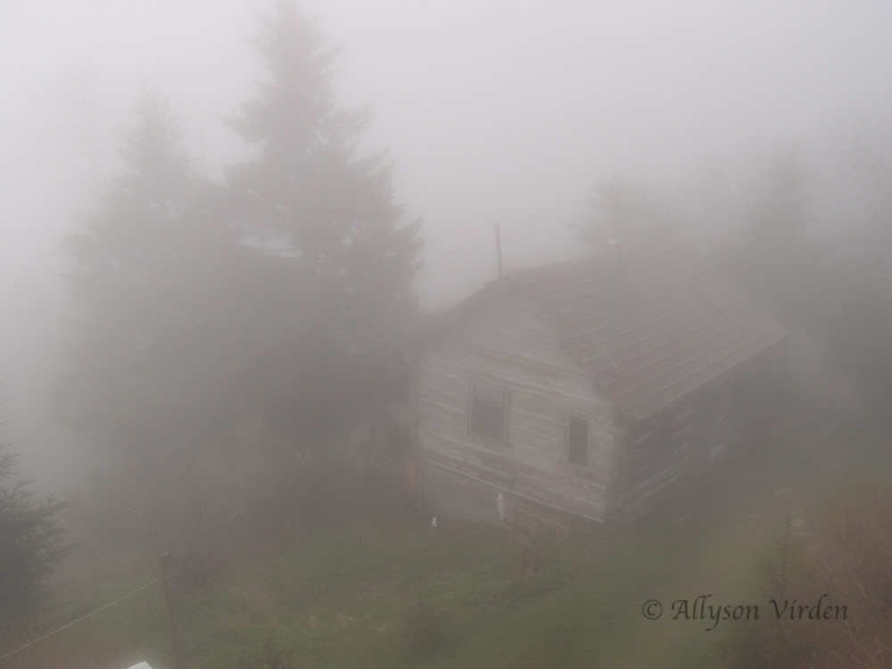
The clouds are rolling over the mountain top. Right as I snapped this shot, a big cloud blanketed the crew cabin. It is a chilly morning up here. The low last night was 32º with a high of 49º. The spring beauties that had opened up are now withdrawn and hoping for warmer weather. I guess you could say they are a metaphor for how I feel at the moment. The crew has been amazing at dealing with the weather we have been dealt since day one. Everyone is still getting along and hanging out together.
I would like to say Happy Mother's Day! I hope you all have a wonderful day in the lower elevations. We are hoping for a little sun later on today.
Cheryl Wilson
5/12/2013 12:35:23 am
We hiked Mt. LeConte yesterday and even though it rained some on us it was great a different kind of hike to see the clouds settling around the mountains at times, to be in the clouds at times and just the beauty of HIS majesty. I was trying to figure our many times we have hiked it and it is around 22 times. Thanks for blogging and the pictures I enjoy knowing what is going on up there. One day, which I have never got to do is see the sun come up there; the one time we spent the night it rained so. Happy Mother's Day to everyone who is a mother and may God bless.
Paul B
5/12/2013 05:41:41 am
We were fortunate enough to have a perfectly clear night and sunrise during our stay last August. Sitting at Myrtle Point watching the world come to light was definitely a life memory.
Brian Riggs
5/12/2013 01:25:16 am
To you all as well a Happy Mothers Day
Larry
5/12/2013 04:08:54 am
HAPPY MOTHER'S DAY to all you hiking moms.
ACre
5/12/2013 11:21:18 am
Might sound like a stupid question, but I have no clue what to e pect for temps. Our family (including baby and small kids) are hiking boulevard trail to LeConte shelter on Wednesday and Thursday. Do I need to have hats and gloves? Or just a jacket with a hood?
Donna
5/12/2013 12:17:11 pm
If you go onto the LeConte Lodge website, scroll down a bit and click on the LeConte weather... it gives temps, wind conditions, etc.
Sheldon
5/12/2013 12:49:43 pm
Found that "averaging" these two sites will give you decent idea of what to expect. Jenny b wrote of going up Bear Pen Hollow in yesterday's comments. Is that an open trail now? Back in the early 50s, my dad, sister and I tried to get to the top on that trail. My dad had hiked it with his dad in the 20s and 30s and it indeed went to the top in those years. The three of us only got about a third of the way up when the trail petered out in a rhododendron thicket so thick that we were unable to crawl through. We were back packing an old world war II pack that was too large to get through the bushes . We were forced to spend the night on the steep slope with our feet pressed against a large hemlock tree to keep from sliding down the mountain. It was large enough in diameter to do the job. The next morning we hiked back down to the hwy (441) and caught a ride back to Gatlinburg. Mother had driven us up to the beginning of the trail and was to meet us at the orchard at the end of Airport Rd. In those days we of course could not call on cell phones to let her know we would not be coming back down Rainbow as planned. So just wondered if there is now a way to get to the top from Bear Pen Hollow,.
Barbara
5/12/2013 02:30:28 pm
Jean D: what an interesting story. Any pictures to go with it? It reminds me of hiking with my dad in the Jarbidge mountains in NV when I was a kid. Jean D., thanks for your interesting story. Went up there today with my friend Chris. We were scouting a hike we'll be leading up there for the Smoky Mountains Hiking Club. The trail has long since disappeared. It is pure off-trail. But it is beautiful. We saw carpets of phacelia today that put Porters Flats to shame, and a profusion of bluets along the stream. We found that the rhodo was worst in the first stretch just above the highway. After that we had pleasant open woods for a while, then some pockets of blowdown and blackberry. At around 5200' it gets very steep (as in your nose is six inches from the slope in front of you). You top out at 5600' on the ridge to West Point and continue along the ridge. It's thick in places. You hit West Point and keep on the ridge going east. There are two interesting "jump down" spots where you jump because there's no way to lower yourself gradually. A great day.
Debi
5/13/2013 01:34:00 am
Wow!! Look at that fog. Comments are closed.
|
LeConte LodgeWelcome to the official blog of LeConte Lodge. We hope you find the information provided here both helpful and enjoyable. Thank you for visiting the site, and we hope to see you on the mountain! Archives
June 2024
|
 RSS Feed
