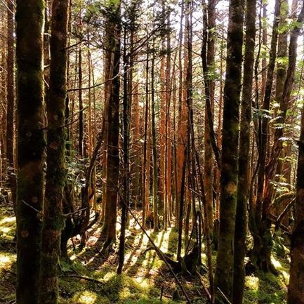
 Late afternoon moss. Hello again, dearest internet, I hope that everyone is having a good day so far. Today started out in a soupy fog this morning, but by mid morning we had clear blue skies...and now we have clouds again....and as I am writing this, the sun is coming back out. Well, that's mountain weather at its finest. It is already 66 degrees today so it looks like we are in for another very wamr day up here. Yesterday's high was 69 and the low was 51 and we received .01" inches of precipitation which, in my opinion, was purely humidity being rung out of mid air. Everyone have a wonderful day today and if it's too hot for coffee when you arrive here, don't worry - we are making extra lemonade today!
Marilyn
6/24/2015 04:57:17 am
Great picture. Oh how I wish I were there to have some of that delicious lemonade. Seems like a long, long time til the middle of September! Hope all who are hiking to/from lodge or anywhere else in Smokies today has a safe and glorious hike!
norman
6/24/2015 05:01:44 am
Sounds GOOD. In yesterday's pitcture, is there soup in the large bowl? What is the menu?? HAGD
norman
6/24/2015 05:04:11 am
@ 12:03 p m
MMW
6/24/2015 08:16:32 am
From the LeConte website:
norman
6/24/2015 08:55:22 am
Sounds good, thanks.
Karon
6/24/2015 09:24:20 am
...and it is delicious!!!! As is breakfast the next morning.
elktonbrant
6/24/2015 12:13:42 pm
It's NEVER too hot for coffee or hot chocolate. We carry a flask of hot tea and hot chocolate on every LeConte hike no matter what time of year, and we fill up in the kitchen on those liquids as well!
Toni Hassenpflug
6/25/2015 03:33:53 am
I am so excited. My trip is July 15. What trail is everyone hiking up on July 15 since Alum Cave is closed? I need to tag along/behind a group...????
tomk in SC
6/25/2015 03:55:31 am
I'd lurk at Rainbow Falls trailhead and wait for someone there, Arrive early so you catch someone and work to keep them in sight, hike WITH them if you can after you pass the West Point sign as the odd bear is near the top. I'd ask at breakfast for a trip down with someone going DOWN Bullhead and settle for Rainbow Falls if you can't link with someone taking Bullhead.
toni
6/25/2015 03:22:29 pm
Thank you so much for your advice.
Tammy (Tx)
6/25/2015 04:43:02 am
Tomk, I'm curious about your suggestions for the hiker wanting to tag along on July 15. My trip is in October. I have decided that I want to go up Trillium. I came to the conclusion that if it's the trail they use for the llamas it must be the easiest and most forgiving even if it's longer. I've been half way up Alum and it was okay for me the first time, took me a lot longer the second, but that was last July. (I have health issues) Why down bullhead and not down rainbow falls? Is one much steeper and rocker than the other? I've done the Chimneys hike before, but to me parts of that on was brutal going up. Coming down trails is much easier for me than going up. I've also been to Grotto Falls and back and that was easy. Would like your input. Thanks!
tomk in SC
6/25/2015 09:51:34 am
Alum up and down is the shortest hike and if you take lunch a bit early, dine at Inspiration Point it is drop dead gorgeous. The section immediately after lunch is the steepest LeConte has to offer with the steepest up ending just above Alum Cave where most folks dine. I like Rainbow up and Bullhead down because I stop atop Rocky Spur almost every time as the views are outstanding. Lunch is awesome down at the falls. Bullhead has a 1/2 mile of flatitude just before West Point and joins Rainbow for the last bit there. That makes Bullhead a bit steeper than Rainbow and absent a good stopping point for lunch, Rainbow with lunch at the falls always wins. I have done it the other way, and I stopped at The Pulpit for lunch but there are only views in the winter, It greens up to obscurity during the summer, Trillium is the favorite if you don't mind absence of long views and it isn't as steep as the others and where the llamas ship don't step! You pretty much have to take the same trip down or add a couple of miles at the end of a Rainbow or Bullhead decent.
Ron Adams
6/25/2015 09:34:57 am
Tammy, here is my two cents for you. Rainbow is probably the rockiest of all the trails going to the Lodge. It is much easier to slip on a sliding rock coming down than up; falling is a real possibility going DOWN the Rainbow. Hence, folks usually recommend up the Rainbow, and down the Bullhead, if you want a nice loop trail. Regarding Trillium, it is not an easy trail. (None of them are for the average person). If you are in decent shape, it's not bad, but I would not say it is easier than the Bullhead.
Tammy (Tx)
6/25/2015 11:14:30 am
Thanks Tom and Ron! I welcome everyone's input. As I've posted many times before I'm determined to make it all the way to the lodge this year, either on a chance I can get in on a cancellation or as a day hiker. I'm on the wait lists for the week we are coming. Some days I'm like the energizer bunny and others I poop out just walking around the house. I just probably won't make up my mind completely until The Day!!
Tammy (Tx)
6/25/2015 11:26:41 am
Tom, did you say Inspiration Point is before you get to the cave bluffs. If so, I've been there and it is a beautiful view. Am I right, I understood you to say between there and the bluffs...and just past the Bluffs ...Andre the steepest parts of Alum? If we decide to hike up on a day that Alum's open, I will probably sucks it up and go up Alum since I've been half way up twice. My husband was looking at photos of our trip last summer and noticed the sign at the Bluffs said Mt. Leconte (or lodge) 2 1/2 miles. He said he couldn't believe we were that close! About Trillium, I'm very aware to be on the look out for llama poop!
tomk in SC
6/25/2015 03:29:41 pm
You are correct. Inspiration point is beautiful and just below the bluffs and the steepest part of the entire trail is from just below the bluffs to just above the bluffs. It civilized after that.
Tammy (Tx)
6/25/2015 11:30:18 am
Stupid phone...."are the steepest parts of Alum" and "suck it up". Comments are closed.
|
LeConte LodgeWelcome to the official blog of LeConte Lodge. We hope you find the information provided here both helpful and enjoyable. Thank you for visiting the site, and we hope to see you on the mountain! Archives
June 2024
|
 RSS Feed
|
|
|
|
|
|
