 Good Morning,
It’s another mild morning high above East Tennessee, although it won’t last but a few hours. The cold front preceded by rain is slowly making its way west to east across the state. Shortly after lunchtime, the precip should start and hang around through supper. After that the skies will begin clearing in time for a sunnier Friday. The upper elevations will be mostly packed in with clouds today with occasional breaks of sunshine before the rain arrives. Also going to be windy again, with gusts as high as 30mph now through the entire weekend. There is a slight chance that as the precip peters out tonight and the temps drop, that some snow showers could form, but the summit isn’t expecting much if any accumulation of the fluffy stuff. This morning might also be the warmest part of the entire day as we begin in the 40s, but by tonight we’ll have to welcome a return to sub-freezing conditions. Remember plenty of layers for keeping oneself dry and warm, and don’t forget traction devices because all that rain runoff will most certainly ice over the trails. All roads accessing the mountain are currently open, but be sure and have a backup plan in place just in case the sour weather and winds cause a temporary road closure somewhere. Have a great day.
0 Comments
Your comment will be posted after it is approved.
Leave a Reply. |
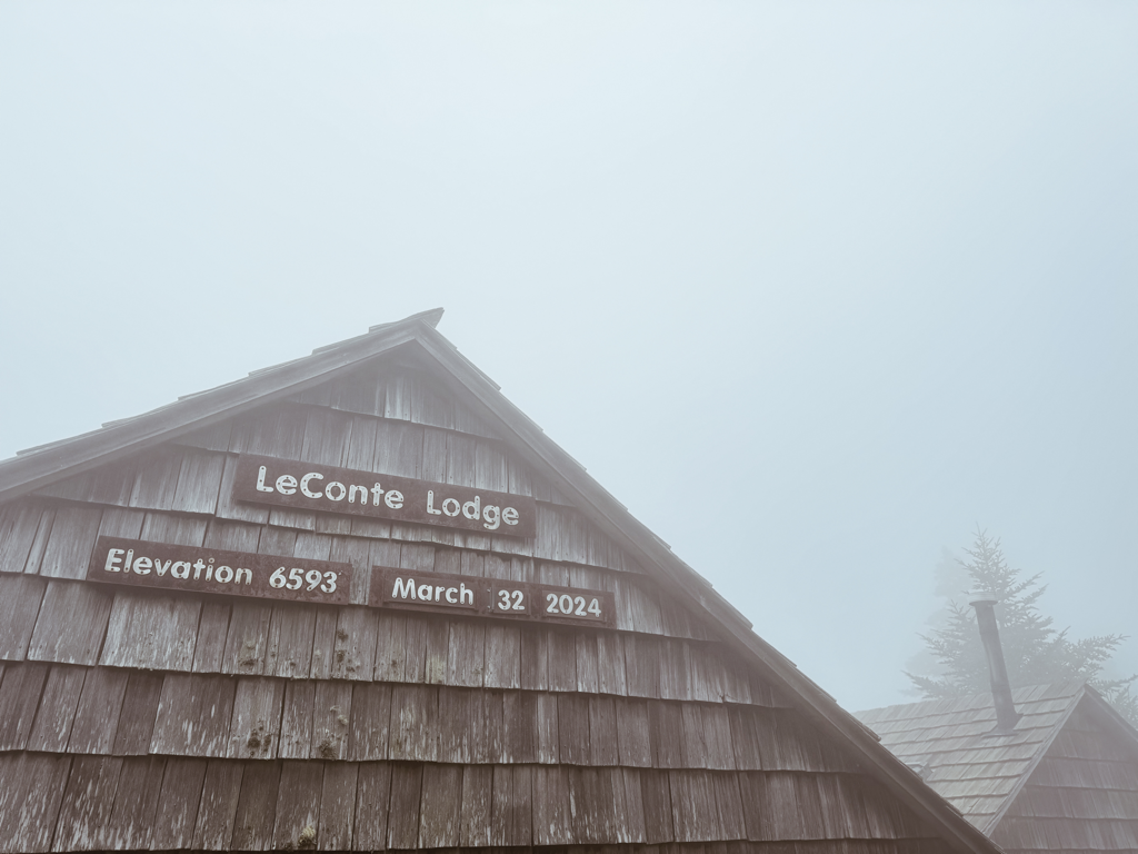
LeConte LodgeWelcome to the official blog of LeConte Lodge. We hope you find the information provided here both helpful and enjoyable. Thank you for visiting the site, and we hope to see you on the mountain! Archives
June 2024
|
 RSS Feed
|
|
|
|
|

|
