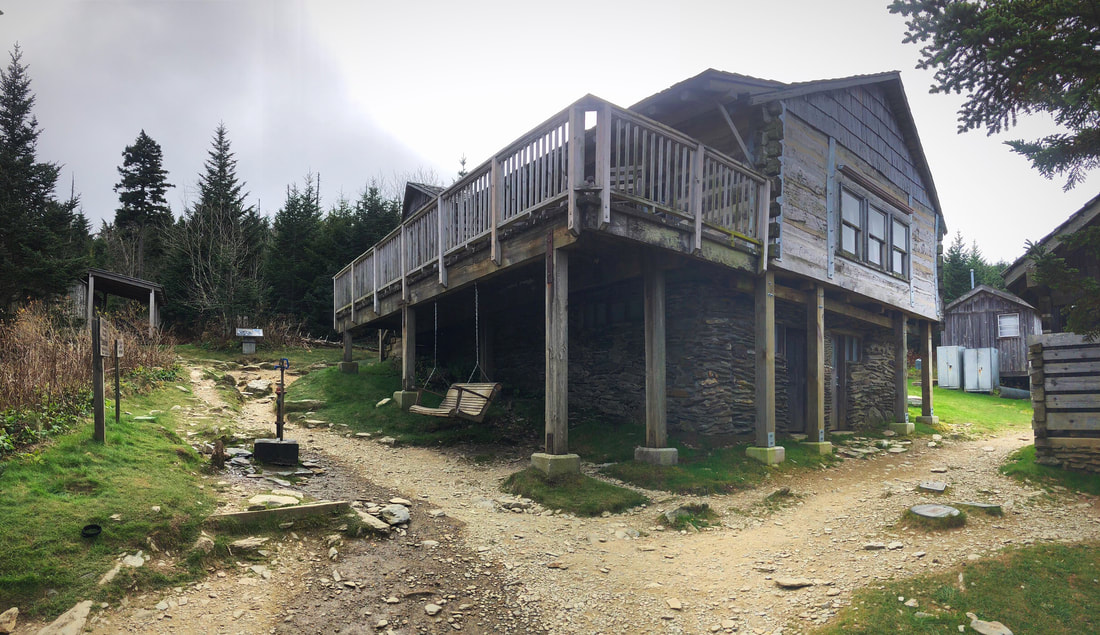
 The wind and clouds are keeping porches vacant today. Good Afternoon,
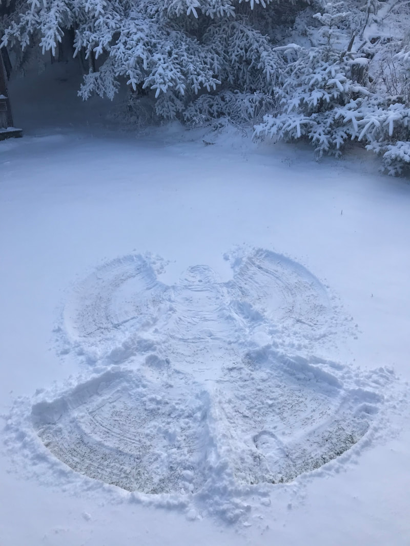
As anticipated, the third weekend of October has been a busy one on the mountain. Saturday was stunningly sunny and reeled in the masses. Our high temperature was 61 degrees with a low of 41. Today has been different, in that the clouds have been rocketing over the peaks from the south most of the day. With the sun being veiled, temps aren't as warm as previous days, and there is a lot more wind action happening around camp. Beginning late tonight and continuing through much of Monday, rain is expected to pound the region, calling for as much as 2" here on Mt. LeConte. After that, temperatures will slide downward through Wednesday. Expect conditions to be much chillier up here, and pay attention to area forecasts and our websites for information regarding potential snow/ice, and any potential road/trail closures. There should be a warm spike later in the week before another cold spell blasts us for the weekend. A lot can change between now and then, though. Have a great rest of the day.
5 Comments
Sarah
10/22/2017 04:37:17 pm
Heading up Friday.want or need anything?
Tammy Raispr
10/22/2017 05:39:52 pm
I love following your blog. Climbing My LeConte is on my bucket list.
Mavis
10/22/2017 07:54:49 pm
Love your blog. Keep up the good work!👍 Autumn. What a wonderful time to be in the Smokies ! I am missing it very much as I deal with a new malady, a sciatic nerve problem, but I will overcome, adapt, and improvise as necessary while I lament that I could have been, as I write this, up at the Lodge for two or three evenings. My griping does no good anyway. I have hope and hope is a good thing and for the time being reading the comments and seeing the nice photos on this site will sustain me until I regain my strength. I will be satisfied to read about the experiences of others in their Lodge visits and their treks to it. I am glad to have t his blog site which helps me keep my optimism strong. I'll get back up there in time. The experiences of being up on the mountain still hold that special magic for me personally and I always appreciate the comments I read here. G'day.
Linda H
10/23/2017 02:59:26 pm
Doug you are an inspiration! This blog can make a persons day no doubt. Dealing with food allergies plus Lambs Quarters which they tell me are a Fall weed. Will get to the mountain maybe next year ! Your comment will be posted after it is approved.
Leave a Reply. |
LeConte LodgeWelcome to the official blog of LeConte Lodge. We hope you find the information provided here both helpful and enjoyable. Thank you for visiting the site, and we hope to see you on the mountain! Archives
June 2024
|
 RSS Feed
|
|
|
|
|
|
