|
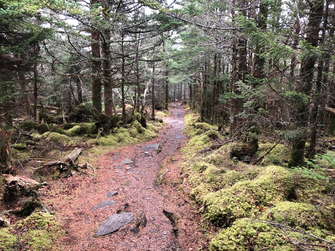
4:30 PM Update: The Smokies NPS will be closing US 441 (Newfound Gap Road) through the park at 4:30 PM Saturday on account of the current and upcoming weather. This temporary closure will last until the weather event culminates and road crews have been able to assess and clear the roadway for visitors' return. At the moment, Cherokee Orchard and Roaring Fork Motor Nature Trail remain open, allowing guests access to Rainbow Falls and Trillium Gap Trails. After some brief downpours mid-afternoon, we've seen close to an inch of rain fall. Wind gusts are still prevalent, and even at 39 degrees, the wet and the wind can make things feel much colder than a thermometer could lead on, especially without the use of warm layers and protective waterproof shells. The NWS has issued a special weather statement speaking more specifically to the threat of ice/snow tonight and into tomorrow. Late tonight, at elevations above 3,000 feet in the mountains, is when the greatest chance of wintry mix will occur, with precipitation tugging back and forth between rain, freezing rain, and snow showers. Atop places like Mt. LeConte, we could still witness an accumulation of snow, but nothing more than a couple inches according to recent reports. We'll keep you posted. Safe travels to all. 12:00 PM Update: Conditions are still windy atop the mountain, but the sustained winds once roaring over the crest have subsided a bit. There are still gusts occurring in excess of 30 mph. The rain, though light, continues to whip and whirl from all directions. Temperatures remain stable in the upper 30's. Things are definitely soggy around camp and on the trails. Once temperatures reach the freezing mark later in the day, one can expect a layer of ice to form before any snow falls and covers things up. Come Sunday, traction devices will be a smart thing to possess for an ascent. Despite the strong winds, roads like US 441 and Cherokee Orchard remain open to visitors. More updates to come as conditions change. Have a great Saturday. 7:00 AM Update: Good Morning,
We're currently under a High Wind Warning, which has been howling over the mountain all night and will persist through late this morning. Hazards associated with these winds would include dead or weakened trees liable to fall. The rain showers have been light and scattered thus far, only accounting for 0.05" of rain, but looking at the radar shows the heaviest precipitation on its way. Showers should last all day before transitioning over to snow sometime late tonight. Our current temperature is 36 degrees and is expected to fall as the weather event pushes on. US 441 is still open to traffic through the park. Yesterday's high temp came in at 53 degrees, followed by a low of 35. Stay tuned for more updates throughout the day.
1 Comment
Lindsay
10/28/2017 03:07:48 pm
With Rainbow closing on Monday would we still be able to come down from the Lodge on it? Staying with you Sunday night. Looks like 441 will be closed. Thank You! Your comment will be posted after it is approved.
Leave a Reply. |
LeConte LodgeWelcome to the official blog of LeConte Lodge. We hope you find the information provided here both helpful and enjoyable. Thank you for visiting the site, and we hope to see you on the mountain! Archives
June 2024
|
 RSS Feed
|
|
|
|
|
|
