|
Good Morning,
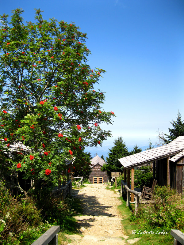
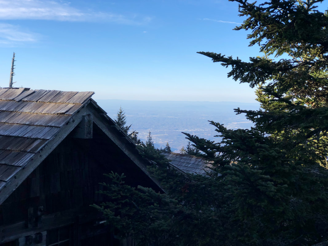
If there was a time to enjoy beautiful sunshine over picturesque mountain scenes, that time was yesterday. Beginning today, conditions across the Smokies will become less appealing as a rejuvenated Hurricane Ian spins up from the southeast after making its second US landfall. A Wind Advisory for our area will be in effect from 2:00 PM this afternoon until 8:00 AM Saturday, with increasing sustained winds and gusts of 60mph possible over the higher peaks. The first rain bands could start passing through around supper time tonight, then it’s going to be a steady dose of showers through much of the weekend. Current forecasts suggest the mountain could receive around 2” of total rainfall once Ian has broken up and moved out Monday. With the surge of tropical air, temps up top will be less frigid than they’ve been, likely to hover in the 40s this weekend. Guests with reservations should hit the trails early to beat the wind and rain today, and do the same on Saturday before the rainfall has a chance to accumulate and potentially swell creeks. The Park has made no indication that it plans to preemptively close any roads in advance of this storm system. We will continue to provide updates regarding Hurricane Ian as they happen. Be safe and have a great day.
0 Comments
Your comment will be posted after it is approved.
Leave a Reply. |
LeConte LodgeWelcome to the official blog of LeConte Lodge. We hope you find the information provided here both helpful and enjoyable. Thank you for visiting the site, and we hope to see you on the mountain! Archives
June 2024
|


 RSS Feed


