High On LeConte
  • Home
  • Daily Posts
  • FAQ's
  • Trail Guide
  • Contact Us
  • Disclaimer

Topo Map of LeConte...

4/9/2010

 
Picture
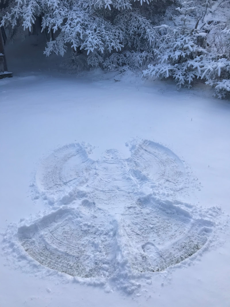
We just spoke to Henry, he said right now it is 23 degrees at the LeConte Lodge.  The high yesterday was 46 and the low was 23.  There are still patches of ice so crampons may be needed in some places. 

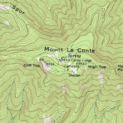
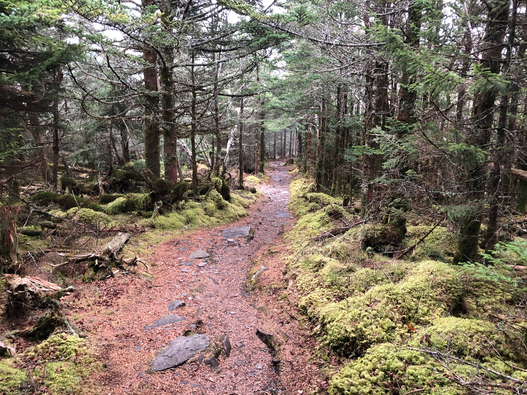
Alum Cave Bluff trail still looks good. 

We had a call this morning asking the Latitude and Longitude for the Lodge.  While looking up this information we found this TOPO Map of LeConte so we thought we would share. 

The Latitude is 35.6545 degrees North and Longitude is 83.4413 degrees West. 

Happy Hiking!
James
4/9/2010 02:14:29 am

We hike up Sunday and back down Tuesday. We are hiking up Alum Cave and plan to hike out on the Boulevard. But don't want to leave our car at Newfound Gap if the Boulevard is not open. Any update on that trail and if hiking down Tuesday would be a good idea? Thanks.

Doug Y.
4/9/2010 02:58:52 am

Hi Allyson: I'm still sore from my visit ! Need some more "training hikes" ! Enjoyed meeting you and the crew this past weekend, too; I carried with me a copy of the portion of the topographic map shown above and wanted to find the USGS benchmark at Cliff Tops but didn't; my copy shows "West Point" just west of Cliff Tops, but I don't think there's a trail over to it, at least not that I know of; I may try to get back before July if Christi has any cancellations, otherwise, see you July 7th & 8th; have a good weekend ! D.

Doug Y.
4/9/2010 03:55:45 am

In my engineering work I'm always using topo maps, coordinates and such, and it's actually been a hobby of mine for many years; when you enter your coordinates given above into the search box on Google Earth, it "flys" right to the lodge ! I usually use deg/min/sec [35 39 16.2 & 83 26 28.7 for the lodge] Google's elevations are given in meters and when converted to feet place the coordinates nearer cabin 9 at the lodge, but when you center closer to the dining hall you get 1938m or 6,360 ft which is the elevation usually given for the lodge, but the sign above the dining hall entrance says 6,593 ft which is the peak itself. just some trivia.....I wish the resolution was sharper on google


Comments are closed.
    Picture

    LeConte Lodge

    Welcome to the official blog of LeConte Lodge. We hope you find the information provided here both helpful and enjoyable.  Thank you for visiting the site, and we hope to see you on the mountain!

    Online Store

    Archives

    May 2022
    April 2022
    March 2022
    February 2022
    January 2022
    December 2021
    November 2021
    October 2021
    September 2021
    August 2021
    July 2021
    June 2021
    May 2021
    April 2021
    March 2021
    February 2021
    January 2021
    December 2020
    November 2020
    October 2020
    September 2020
    August 2020
    July 2020
    June 2020
    May 2020
    April 2020
    March 2020
    February 2020
    January 2020
    December 2019
    November 2019
    October 2019
    September 2019
    August 2019
    July 2019
    June 2019
    May 2019
    April 2019
    March 2019
    February 2019
    January 2019
    December 2018
    November 2018
    October 2018
    September 2018
    August 2018
    July 2018
    June 2018
    May 2018
    April 2018
    March 2018
    February 2018
    January 2018
    December 2017
    November 2017
    October 2017
    September 2017
    August 2017
    July 2017
    June 2017
    May 2017
    April 2017
    March 2017
    February 2017
    January 2017
    December 2016
    November 2016
    October 2016
    September 2016
    August 2016
    July 2016
    June 2016
    May 2016
    April 2016
    March 2016
    February 2016
    January 2016
    December 2015
    November 2015
    October 2015
    September 2015
    August 2015
    July 2015
    June 2015
    May 2015
    April 2015
    March 2015
    February 2015
    January 2015
    December 2014
    November 2014
    October 2014
    September 2014
    August 2014
    July 2014
    June 2014
    May 2014
    April 2014
    March 2014
    February 2014
    January 2014
    December 2013
    November 2013
    October 2013
    September 2013
    August 2013
    July 2013
    June 2013
    May 2013
    April 2013
    March 2013
    February 2013
    January 2013
    December 2012
    November 2012
    October 2012
    September 2012
    August 2012
    July 2012
    June 2012
    May 2012
    April 2012
    March 2012
    February 2012
    January 2012
    December 2011
    November 2011
    October 2011
    September 2011
    August 2011
    July 2011
    June 2011
    May 2011
    April 2011
    March 2011
    February 2011
    January 2011
    December 2010
    November 2010
    October 2010
    September 2010
    August 2010
    July 2010
    June 2010
    May 2010
    April 2010
    March 2010

    RSS Feed

For current GSMNP road and trail information, visit the Park's Twitter page, official website, or call 865-436-1200 and follow the prompts.
  • Home
  • Daily Posts
  • FAQ's
  • Trail Guide
  • Contact Us
  • Disclaimer

Picture

Picture

Picture
Picture
Picture
Picture